Climate Detectives Team Leader Guide
Climate Detectives Kids Team Leader Guide Brief description The Climate Detectives Team Leader Guide provides a set of steps and...
Climate Detectives Kids Team Leader Guide Brief description The Climate Detectives Team Leader Guide provides a set of steps and...
Brief description In this set of three activities, students will learn about how data is collected by sensors and how...
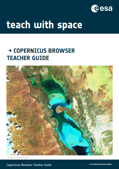
Brief description The goal of this guide is to help teachers navigate the main tools of the Copernicus Browser and...
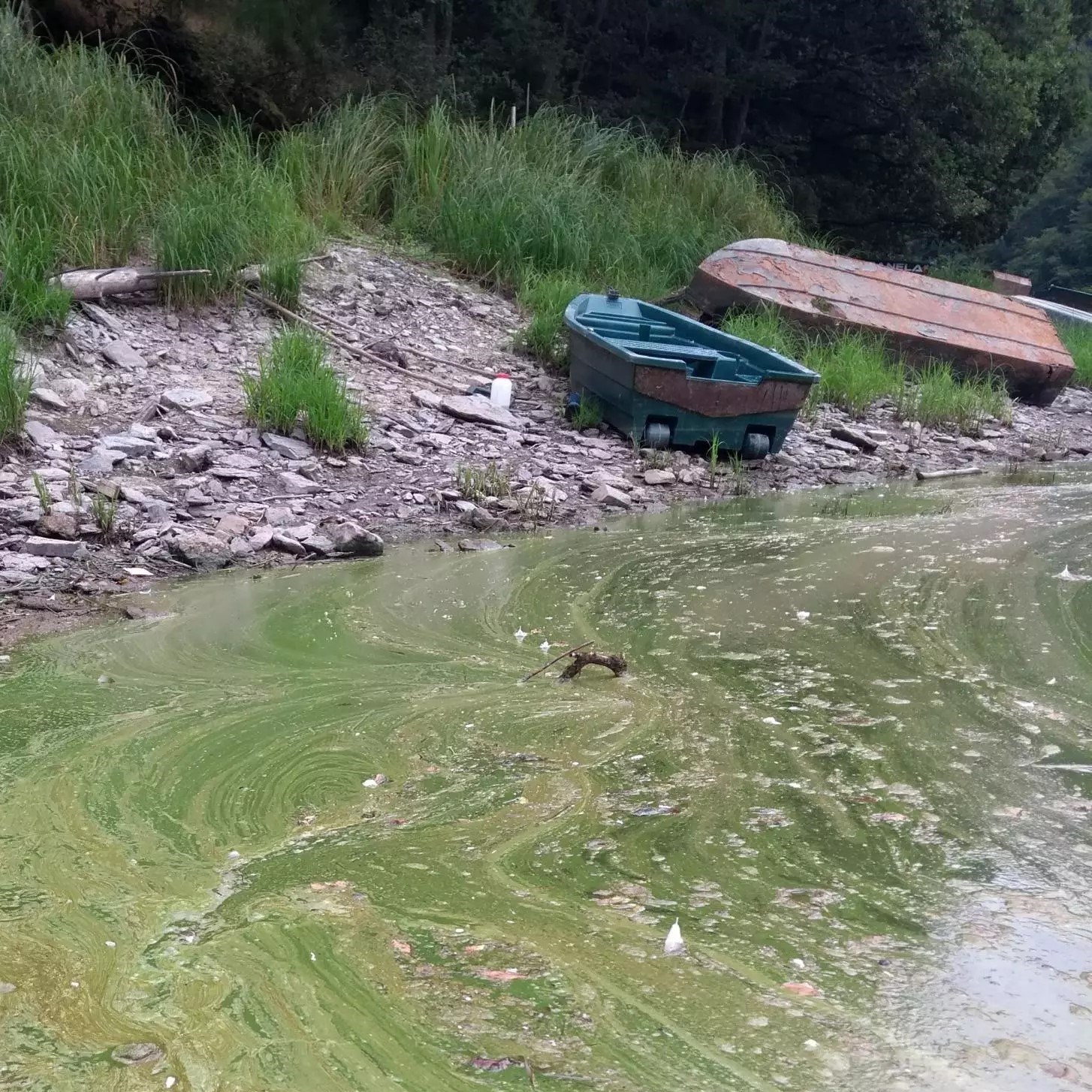
Brief description This activity supports teachers in guiding their students to investigate algal blooms and their impacts using satellite imagery....
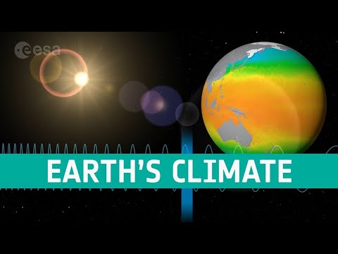
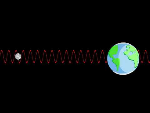
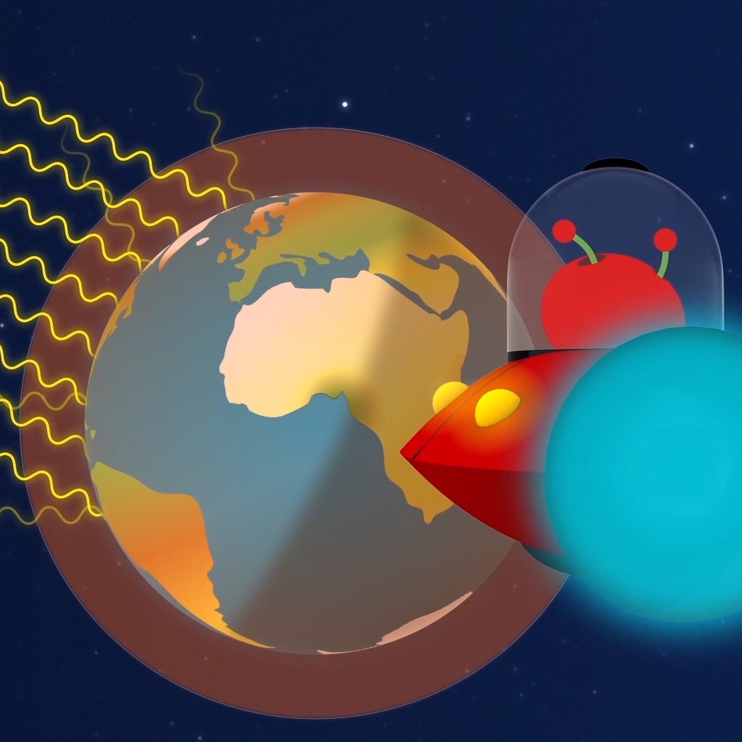
Satellites observe the Earth using a range of wavelengths on the electromagnetic spectrum. Discover how we can build a more...
Learn how satellites can help us monitoring our planet. Video by ESERO Germany (in English).
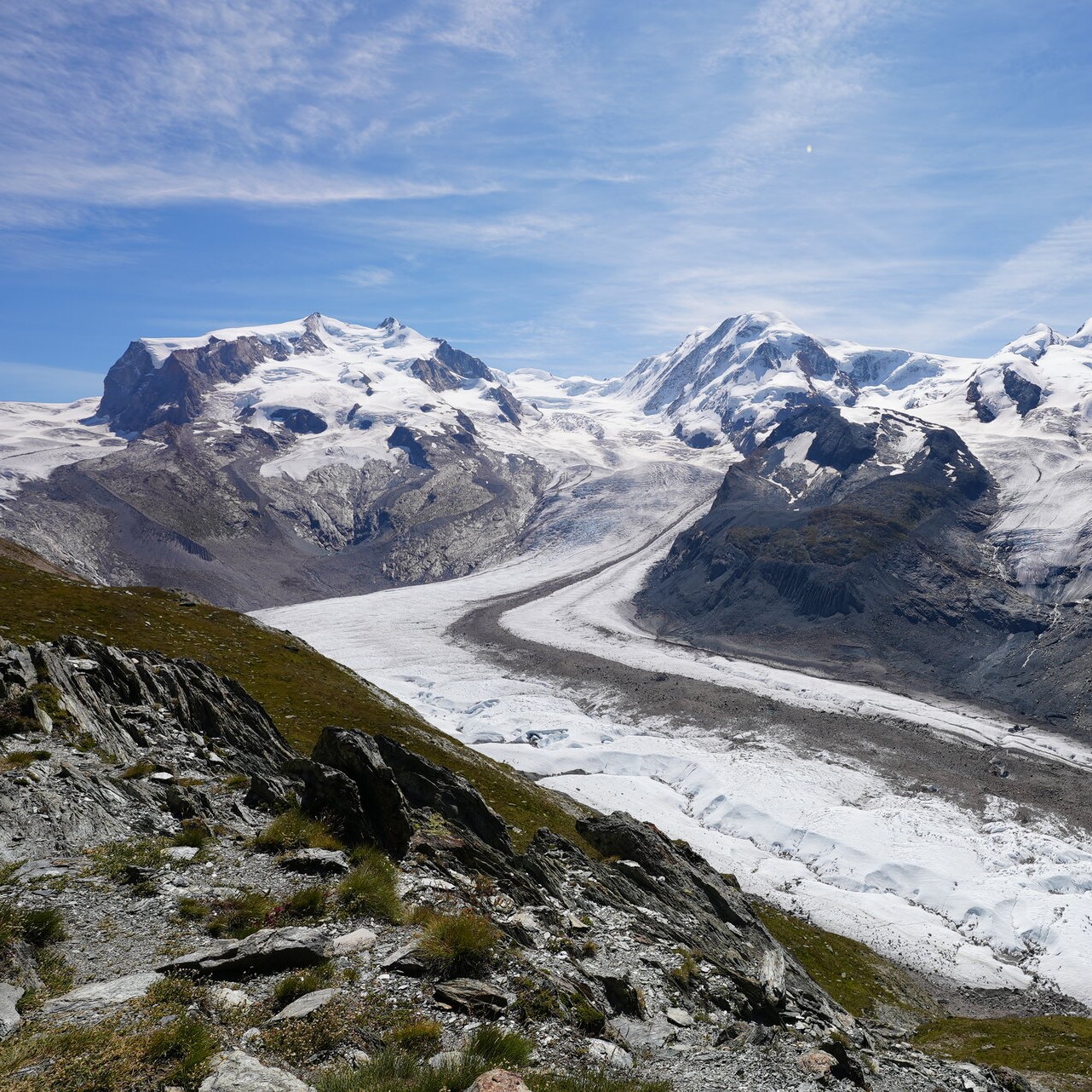
Brief description In this set of four activities, pupils will explore the impacts of global warming and melting ice on...
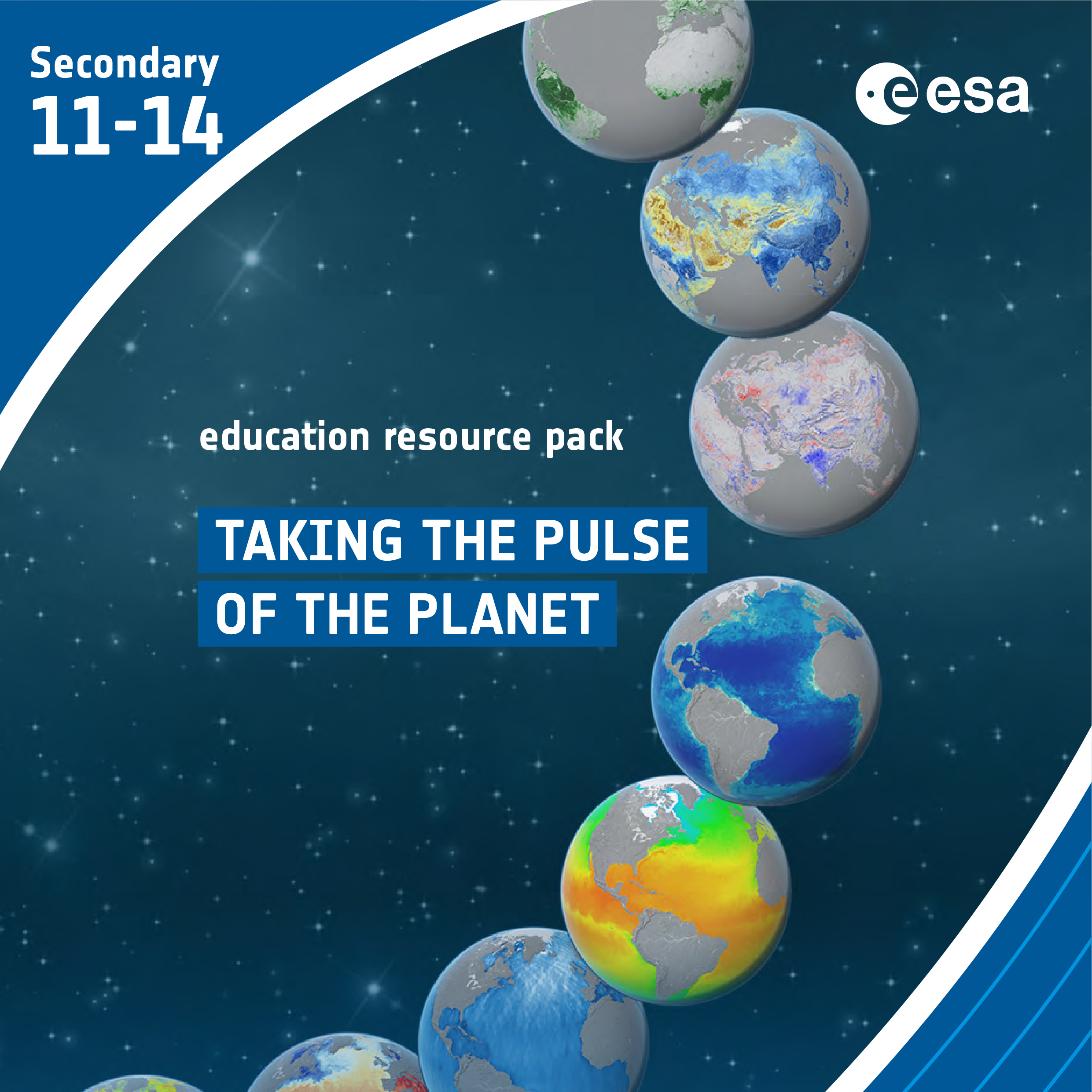
Explore ESA’s interactive Climate Change Kit The Climate Change from Space Kit is an interactive PDF that takes the reader through...
Brief description The mini case Studies for Climate Detectives are intended to help teachers identifying the topic that their Climate...
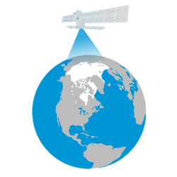
Earth observation satellites are guardians of our planet. Thanks to remote sensing technology and daily data collection, researchers are able...
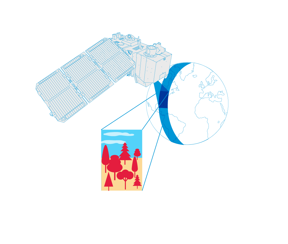
Satellite images enable us to document changes in land use very precisely. Discover how satellites provide information about land use...
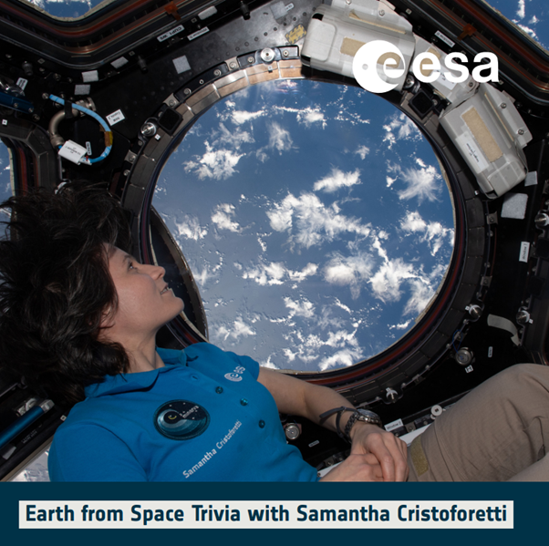
Quiz: Become an Earth Observer with Samantha Cristoforetti and learn about our home planet! This educational quiz features images of...
Discover how satellite images can help with disaster relief and recovery anywhere in the world.
Learn how climate change is causing our seas to rise and how satellites have been measuring the height of the...
Brief description In this set of three activities, students will use an multimedia module to learn about sea currents, the...
Brief description In this set of three activities, students will learn about ozone and the impacts – good and bad...
Brief description In this set of three activities, students will do hands-on experiments and learn how to interpret satellite images...
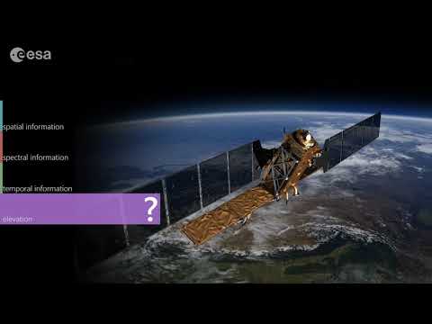
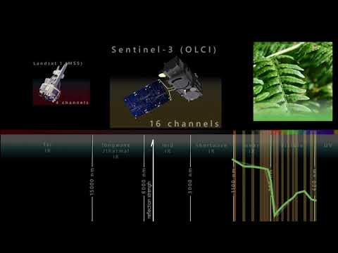
The observation of our planet with the help of satellites largely depends on the different characteristics of their sensors. The...
Discover how Copernicus Sentinel-3 mission is helping scientists to understand the overall health of our planet.
Brief description In this set of three activities, students will learn the difference between weather and climate. They will identify...
Brief description In this set of three activities, students will learn how ocean circulation has an impact on climate. In...
Brief description In this set of three activities, students will discover the important role Arctic sea ice plays in the...
Explore what satellites can see with their sensors and learn about the properties of the electromagnetic waves. Video by ESERO...
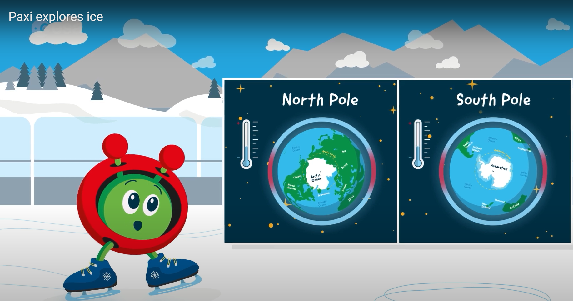
Brief description:Join Paxi on an adventure to the North and South poles, to learn more about ice and its role...
Ice and snow can be a hot topic when talking about climate. The polar regions are very fragile and can...
Brief description The Mini Case Studies for Climate Detectives are intended to help teachers identify the topic that their Climate...
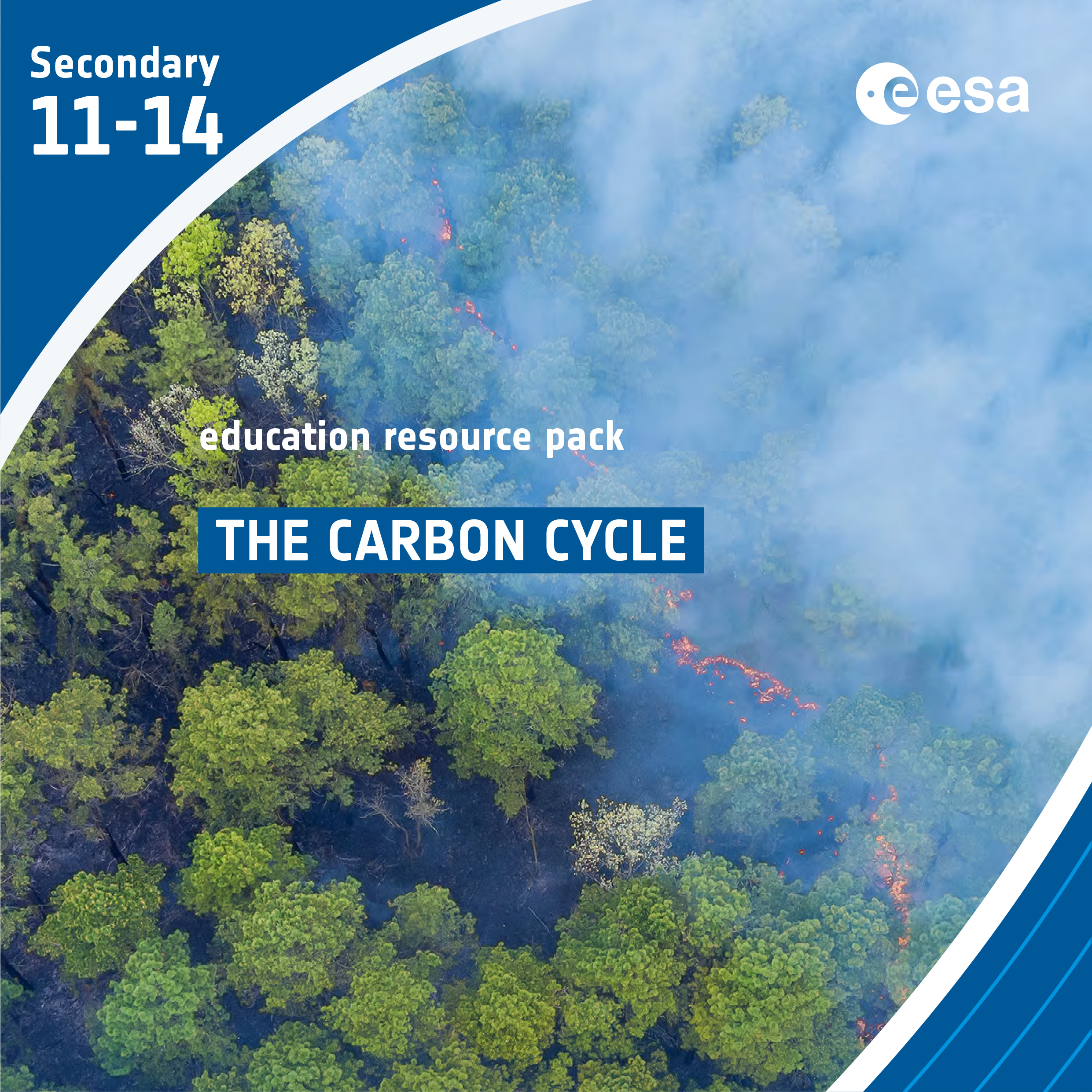
Brief description In this set of three activities, students will learn about the carbon cycle and use it to identify...
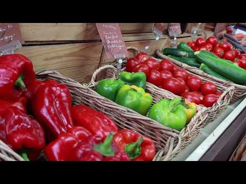
Discover how satellites like Copernicus Sentinel-2 provide a new perspective of Earth’s land and vegetation.
Brief description This activity supports teachers in guiding their students to investigate oil spills and their impacts using satellite imagery....
Brief description In this set of two activities, pupils will learn about our atmosphere and the greenhouse gases that it...
Discover how satellites can help collecting information on water resources at over large areas.
Game: ”Forest Kids” game on Biodiversity This game guides children on an expedition around the world and invites the virtual...
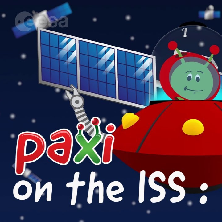
Brief description: Join Paxi aboard the ISS with astronaut Thomas Pesquet to discover natural and artificial satellites. Paxi on the...
Brief description The mini case studies for Climate Detectives are intended to help teachers to identify the topic that their...
Brief description:Join Paxi as he explores the greenhouse effect to learn about global warming. In this video, targeted at children...
In this short video, Dr Natalie Douglas, a climate scientist, explains what could be some of the causes and consequences...
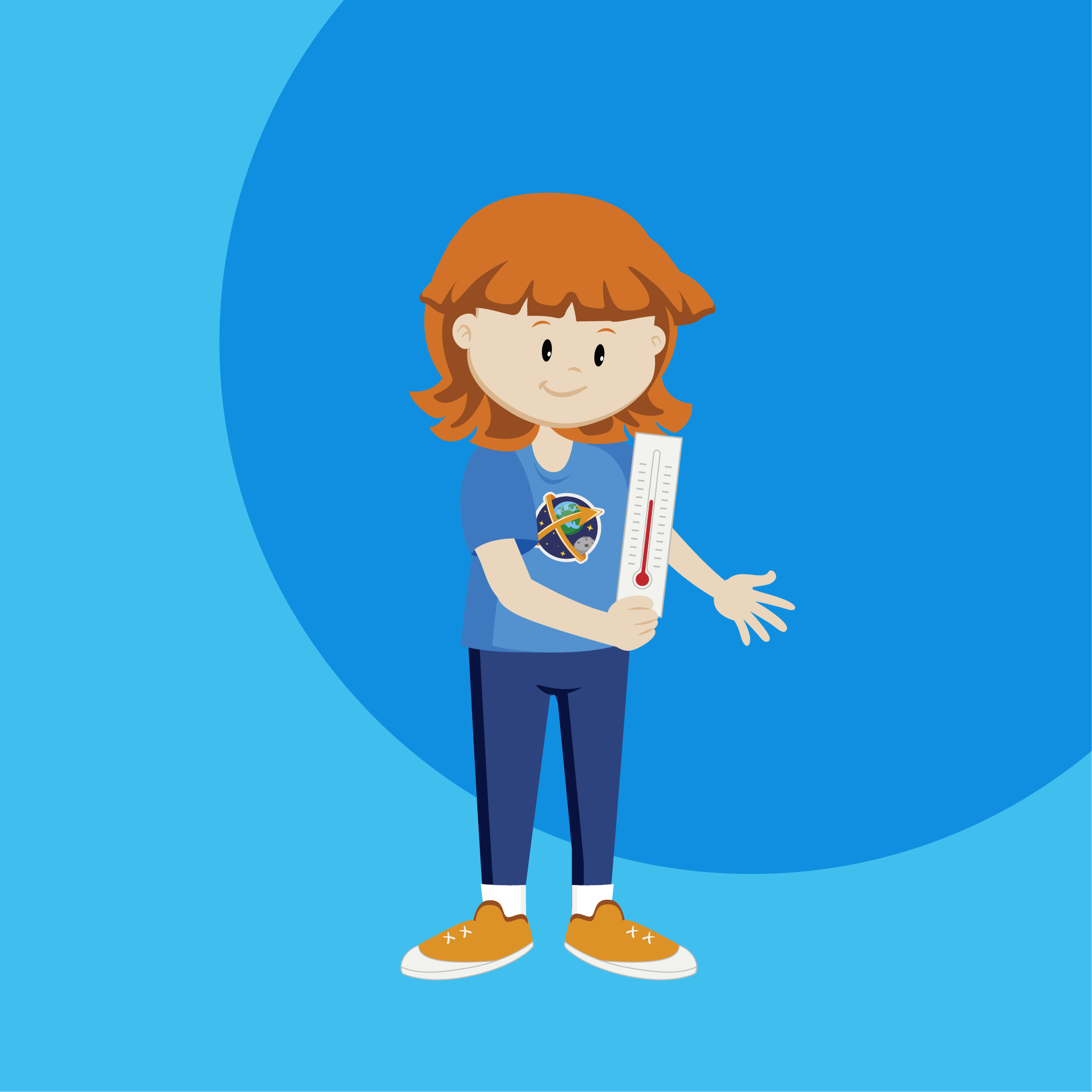
Brief description In this set of three activities, students will learn how their senses and instruments can be used to...
Brief description The mini case studies for Climate Detectives are intended to help teachers to identify the topic that their...
Brief description In this set of three activities, pupils are introduced to the idea of remote observation of the Earth...
Brief description This set of three activities will enable students to understand the electromagnetic spectrum and observe infrared radiation through...
Brief description In this set of eight activities, pupils work individually or in groups to build a spectroscope that can...
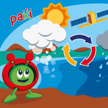
Brief description:Join Paxi as he visits Planet Earth, and learn about the water cycle. In this video, targeted at children...
Brief description In this set of three activities, students will investigate Arctic sea ice. First, they will perform a hands-on...
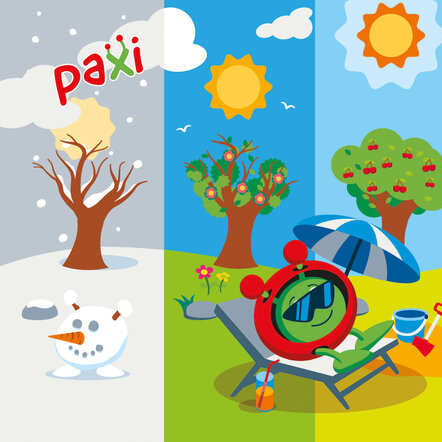
Brief description:Join Paxi as he explores why we have day and night, and learn why the Earth has seasons. Have...
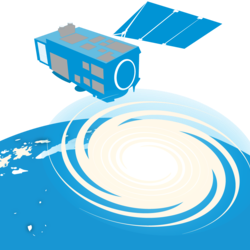
Brief description In this set of two activities, students will explore the applications of Earth observation data in tracking hurricanes...
Brief description In this set of three activities, students will start with a reading assignment that introduces vocabulary and ideas...
Brief description The Climate Detectives Teacher’s Guide provides a set of steps and approaches that teachers and Team Leaders might...
Almost 200 countries are gathering in Dubai to attend the biggest climate event of the year. COP28 – the 2023...
Discover how Copernicus Sentinel-1 mission uses its radar to provide an all-weather, day-and-night supply of imagery of Earth’s surface.
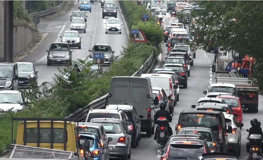
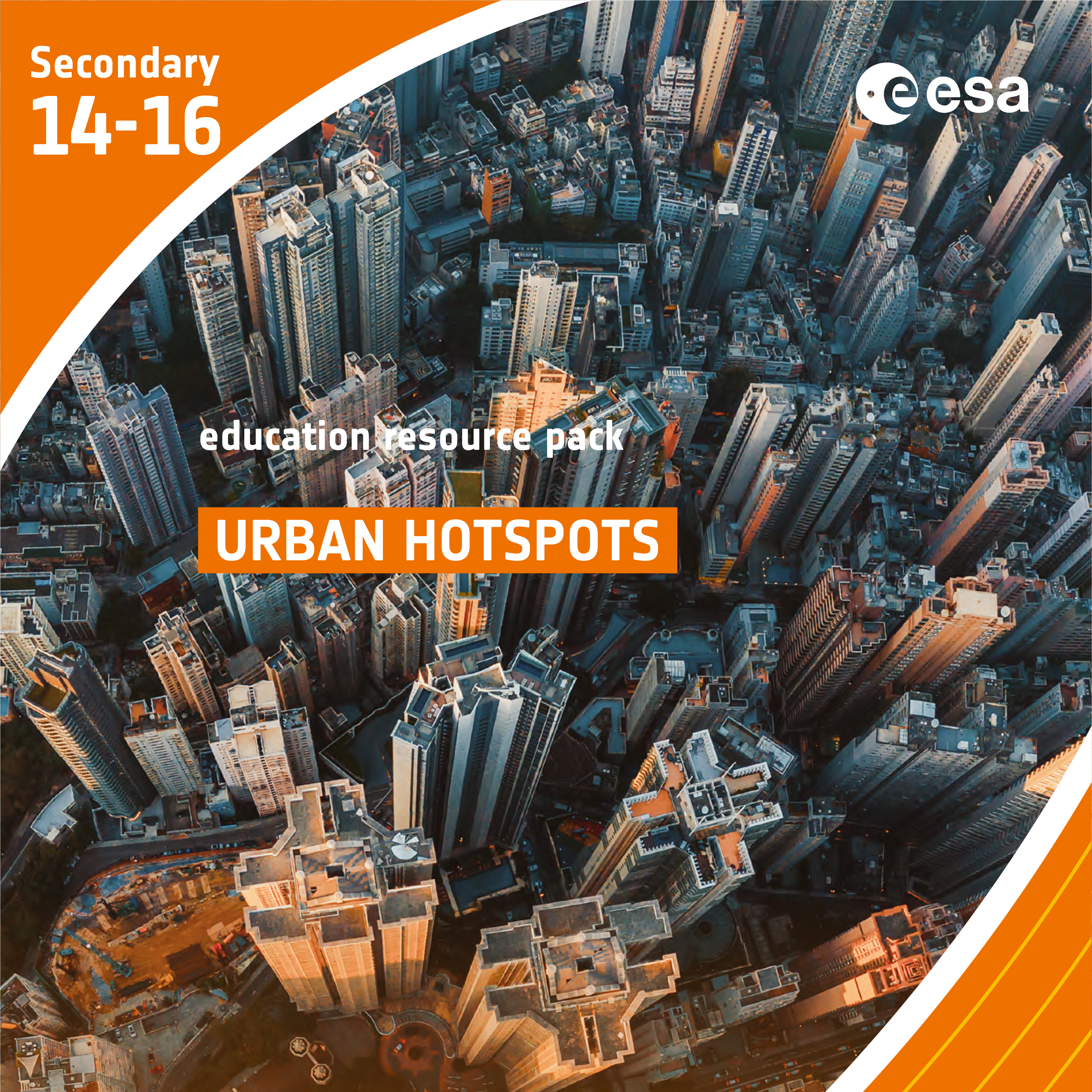
Brief description In this set of three activities, students will learn how the built environment leads to the urban heat...
In this short video, Dr Natalie Douglas, a climate scientist, explains the difference between weather, climate variability and climate change....
Brief description This resource includes two activities to foster and enhance pupils’ knowledge of seasons, and focuses on the basic...
Brief description In this set of three activities, students will learn how various types of electromagnetic radiation are used to...
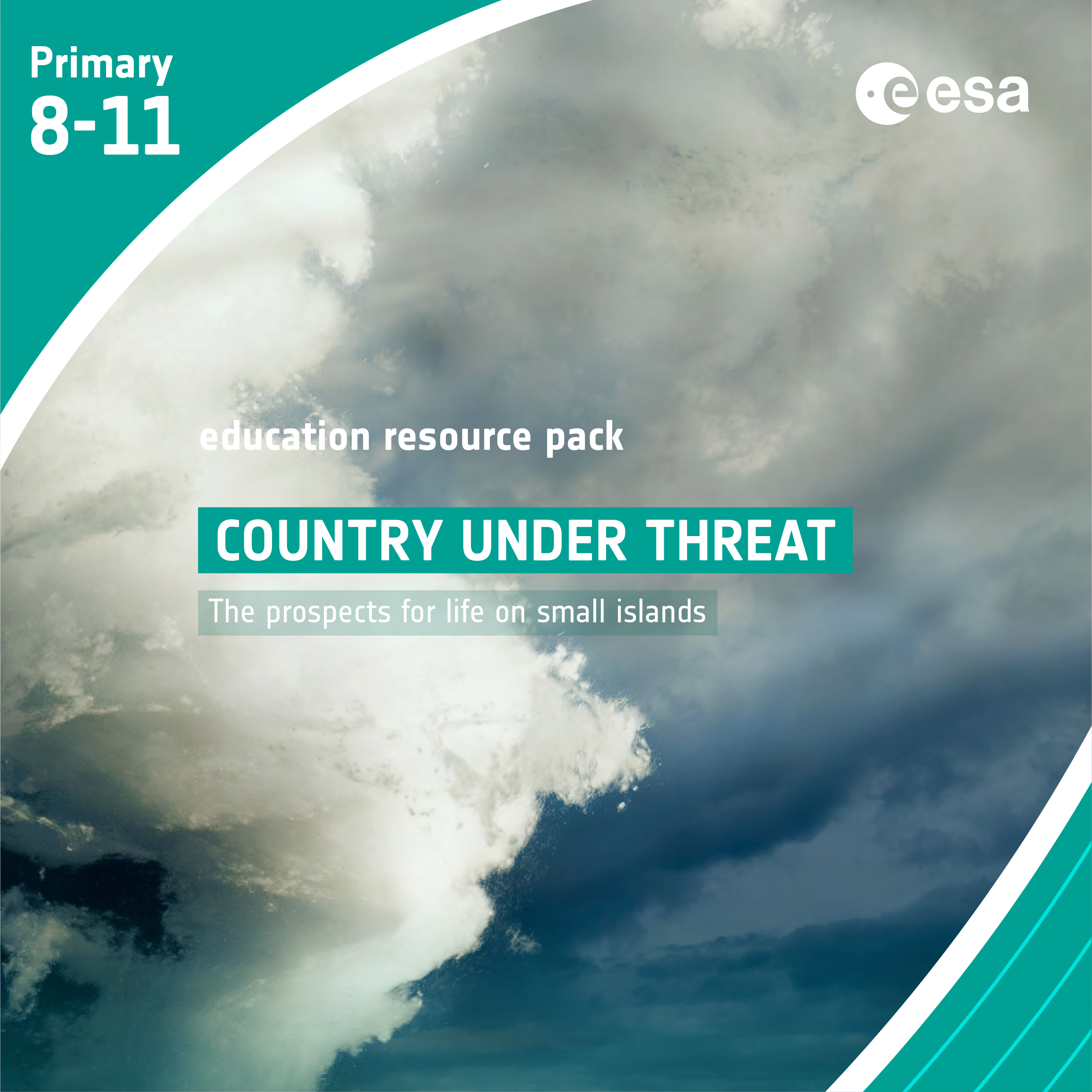
Brief description In this set of four activities pupils will learn about the causes and potential impacts of sea-level rise...
Learn about the electromagnetic spectrum and how satellites can see the invisible. Video by ESERO Germany (in English).
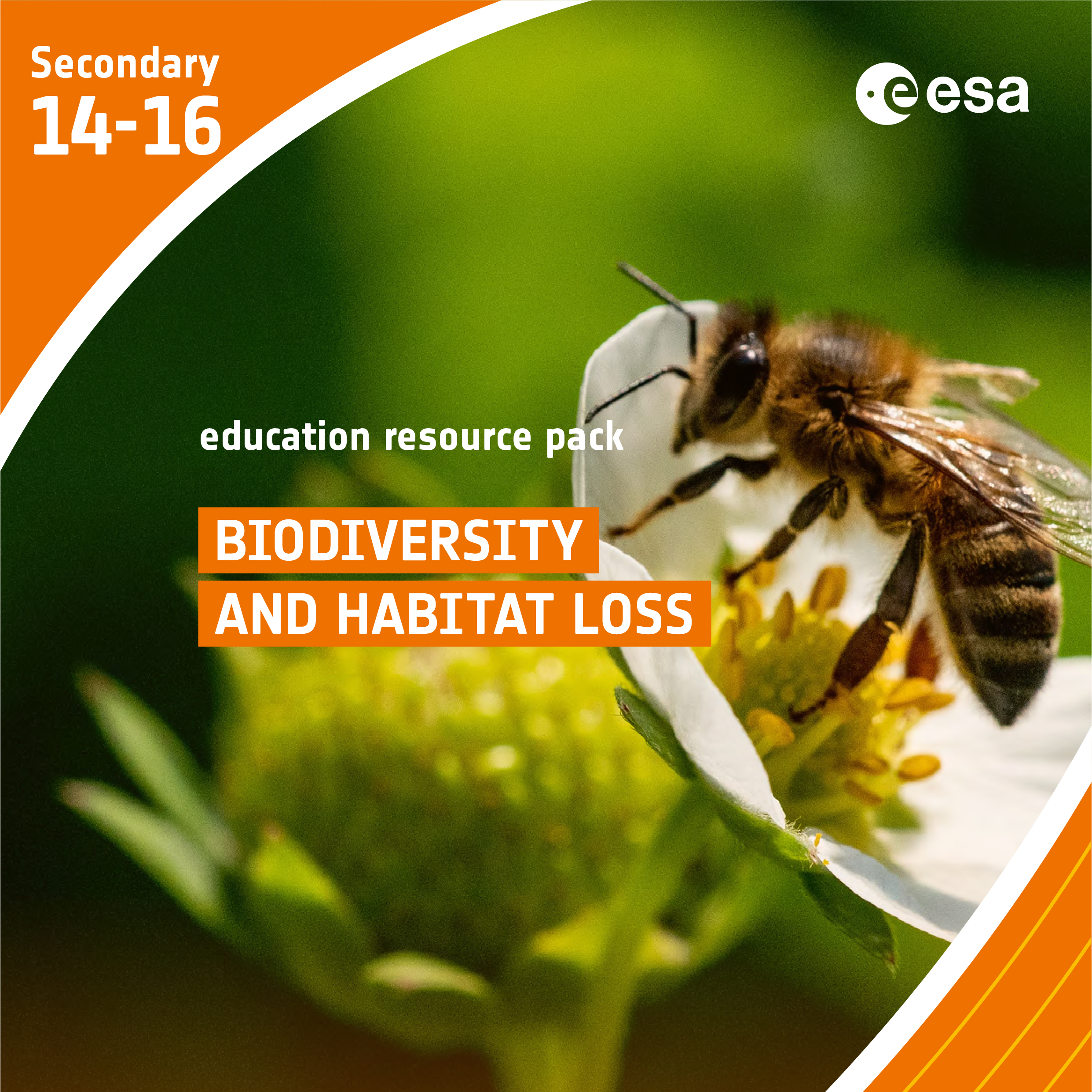
We are all intricately interconnected to our Earth – from the trees that provide us with oxygen, to the natural...
Brief description:In this set of six activities, students will investigate which factors affect plant growth, and relate these factors to...
Brief description: Learn about wind, what causes it and how and why we study it in the latest Paxi adventure...
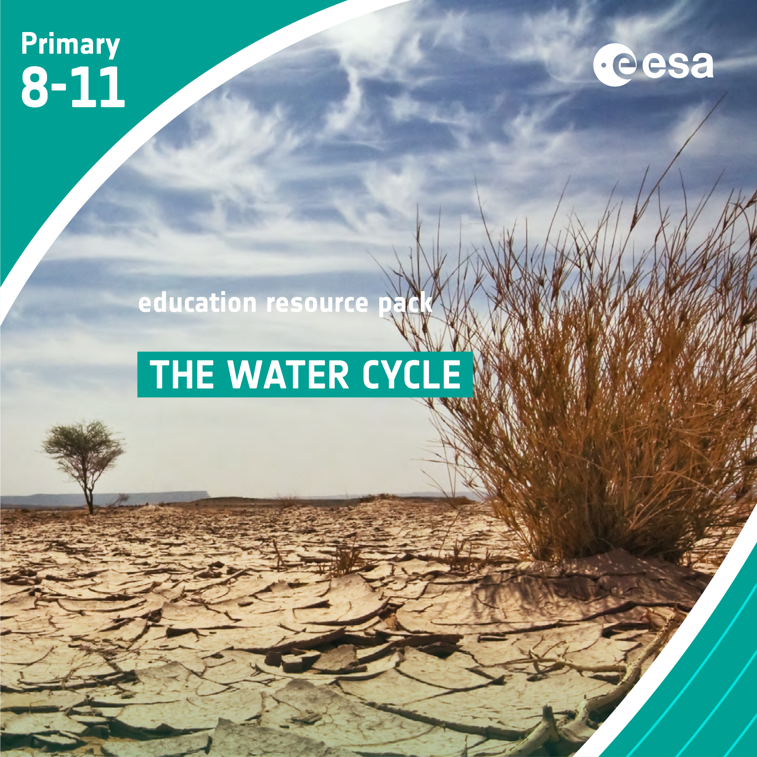
Brief description In this set of six activities, students will learn about the water cycle and, in particular, how water...