Infrared Webcam Hack – Using infrared light to observe the world in a new way
Brief description This set of three activities will enable students to understand the electromagnetic spectrum and observe infrared radiation through...
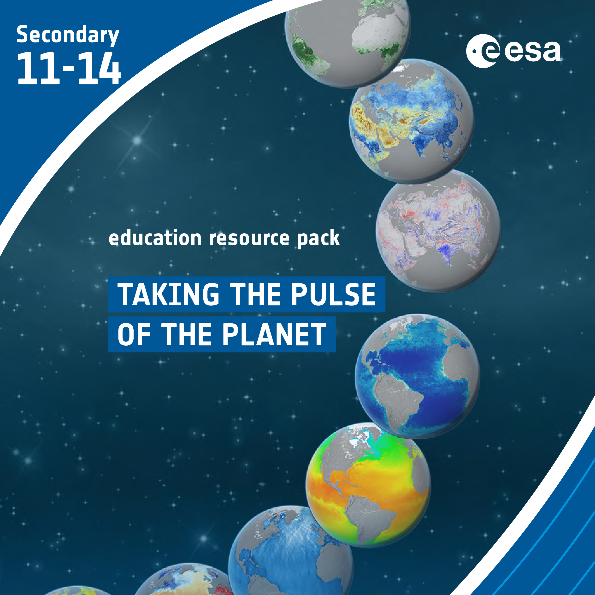
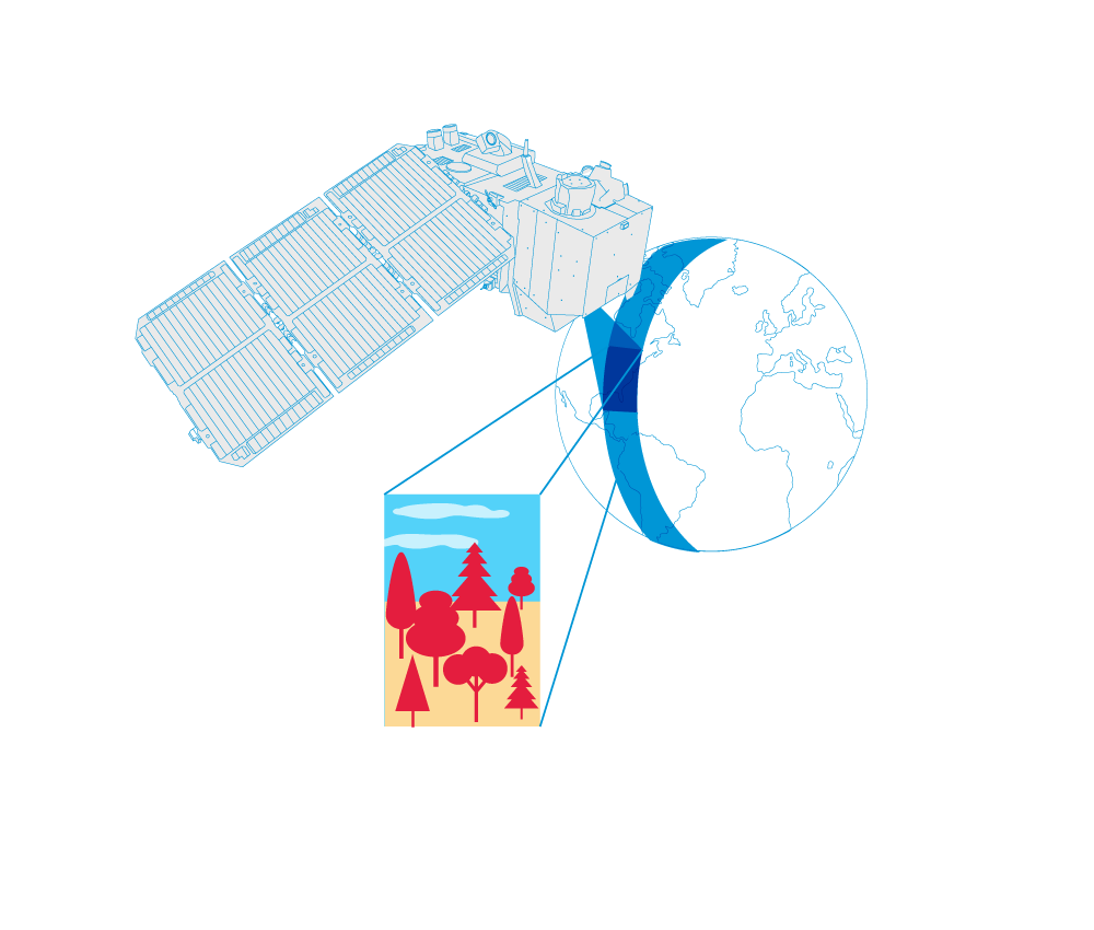
Taking the Pulse of the Planet
Brief description In this set of three activities, students will learn how various types of electromagnetic radiation are used to...
Sea ice from space – Investigating Arctic sea ice and its connection to climate
Brief description In this set of three activities, students will investigate Arctic sea ice. First, they will perform a hands-on...

Earth under the lid – Understanding the greenhouse effect
Brief description In this set of two activities, pupils will learn about our atmosphere and the greenhouse gases that it...
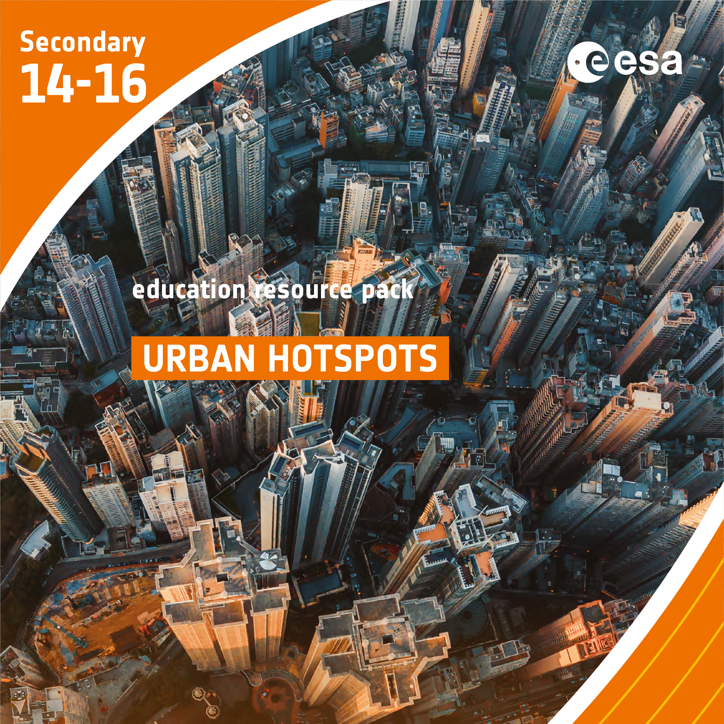
Urban Hotspots
Brief description In this set of three activities, students will learn how the built environment leads to the urban heat...

Ocean views
Ice and snow can be a hot topic when talking about climate. The polar regions are very fragile and can tell us a lot about how Earth’s climate is changing. Andrew Shepherd of the University...