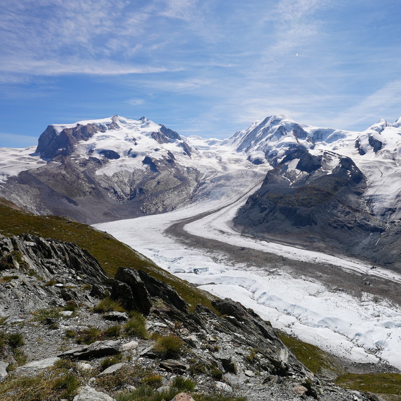


Earth under the lid – Understanding the greenhouse effect
Brief description In this set of two activities, pupils will learn about our atmosphere and the greenhouse gases that it...
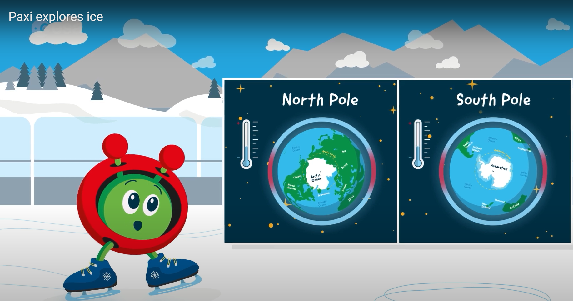
Paxi explores ice
Brief description:Join Paxi on an adventure to the North and South poles, to learn more about ice and its role...
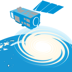
After the storm – Tracking Hurricane Matthew and analysing its impact
Brief description In this set of two activities, students will explore the applications of Earth observation data in tracking hurricanes...
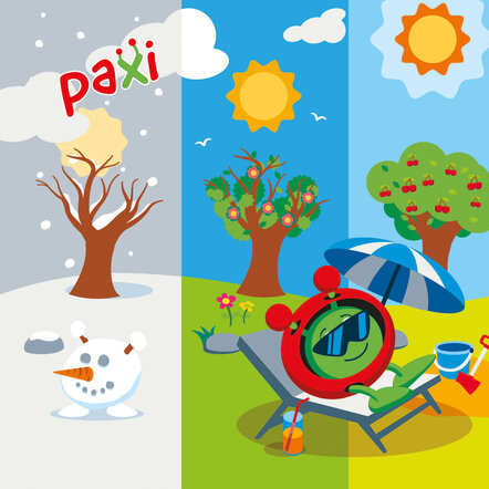
Paxi – Day, night, and the seasons
Brief description:Join Paxi as he explores why we have day and night, and learn why the Earth has seasons. Have...
Infrared Webcam Hack – Using infrared light to observe the world in a new way
Brief description This set of three activities will enable students to understand the electromagnetic spectrum and observe infrared radiation through...
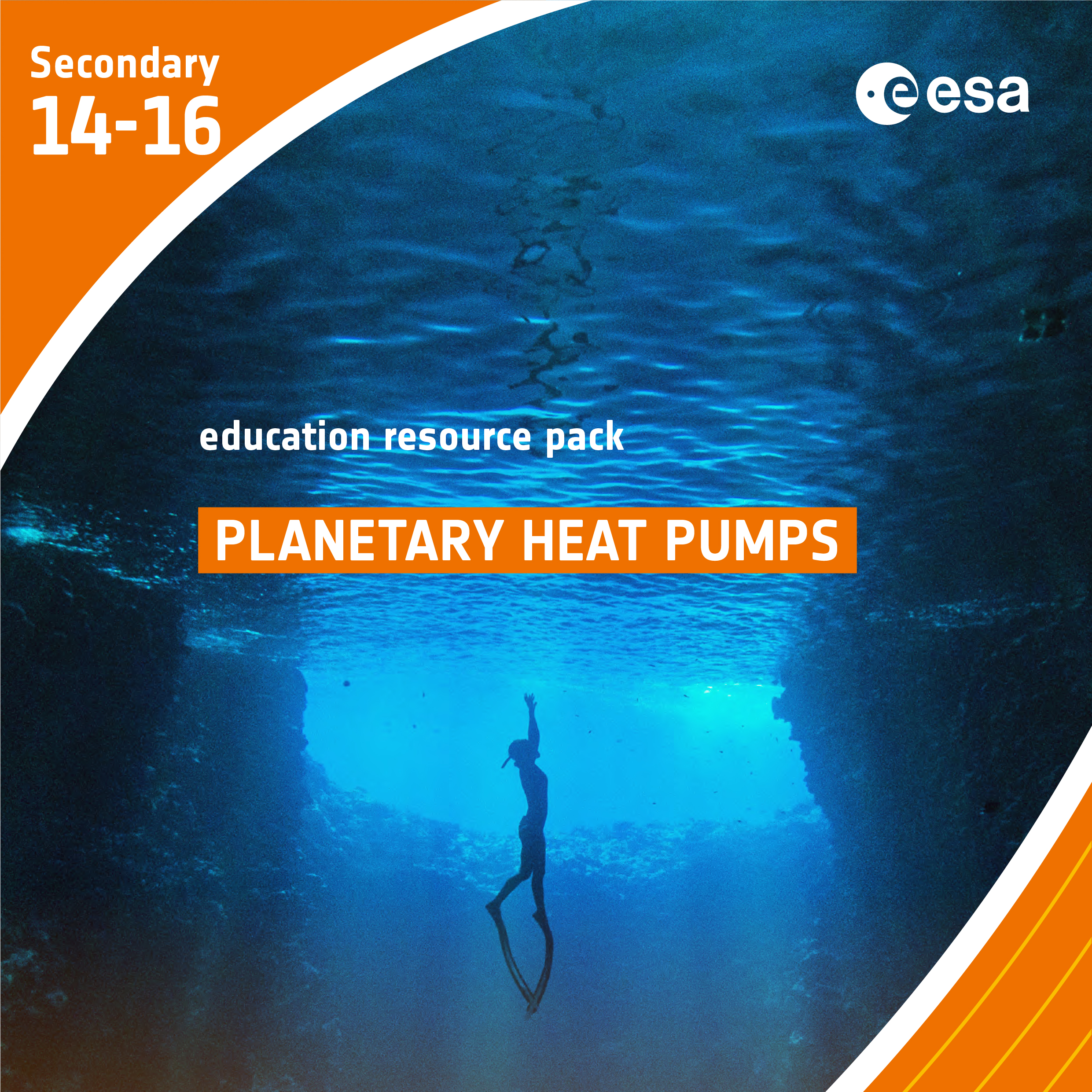
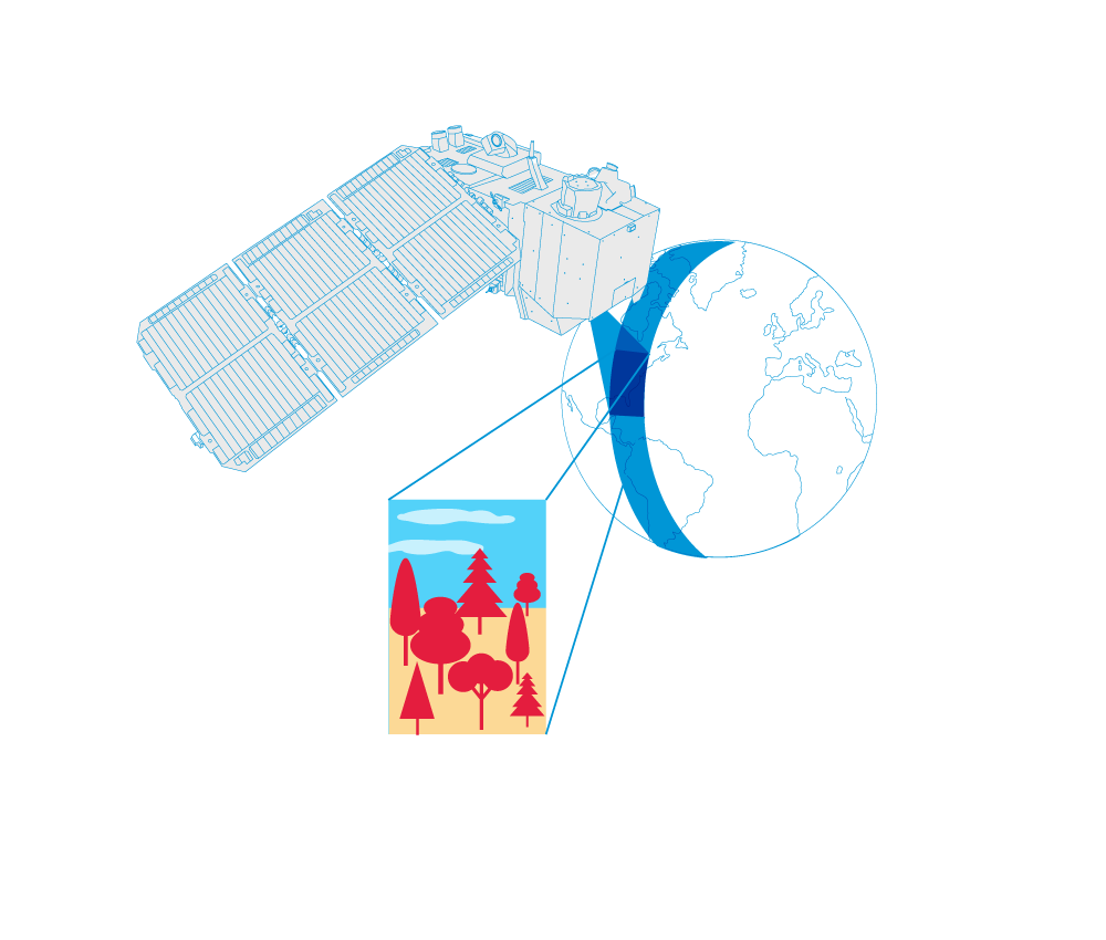
Planetary Heat Pumps
Brief description In this set of three activities, students will learn how ocean circulation has an impact on climate. In...