

Learn about sea level
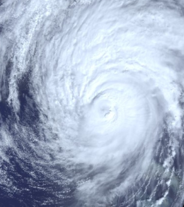
Learn how climate change is causing our seas to rise and how satellites have been measuring the height of the sea surface systematically since 1992.
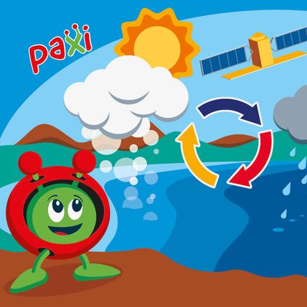
Paxi – The Water cycle
Brief description:Join Paxi as he visits Planet Earth, and learn about the water cycle. In this video, targeted at children...

Copernicus Browser Case Study: Algal Blooms From Space
Brief description This activity supports teachers in guiding their students to investigate algal blooms and their impacts using satellite imagery....

Climate Change Kit
Explore ESA’s interactive Climate Change Kit The Climate Change from Space Kit is an interactive PDF that takes the reader through...
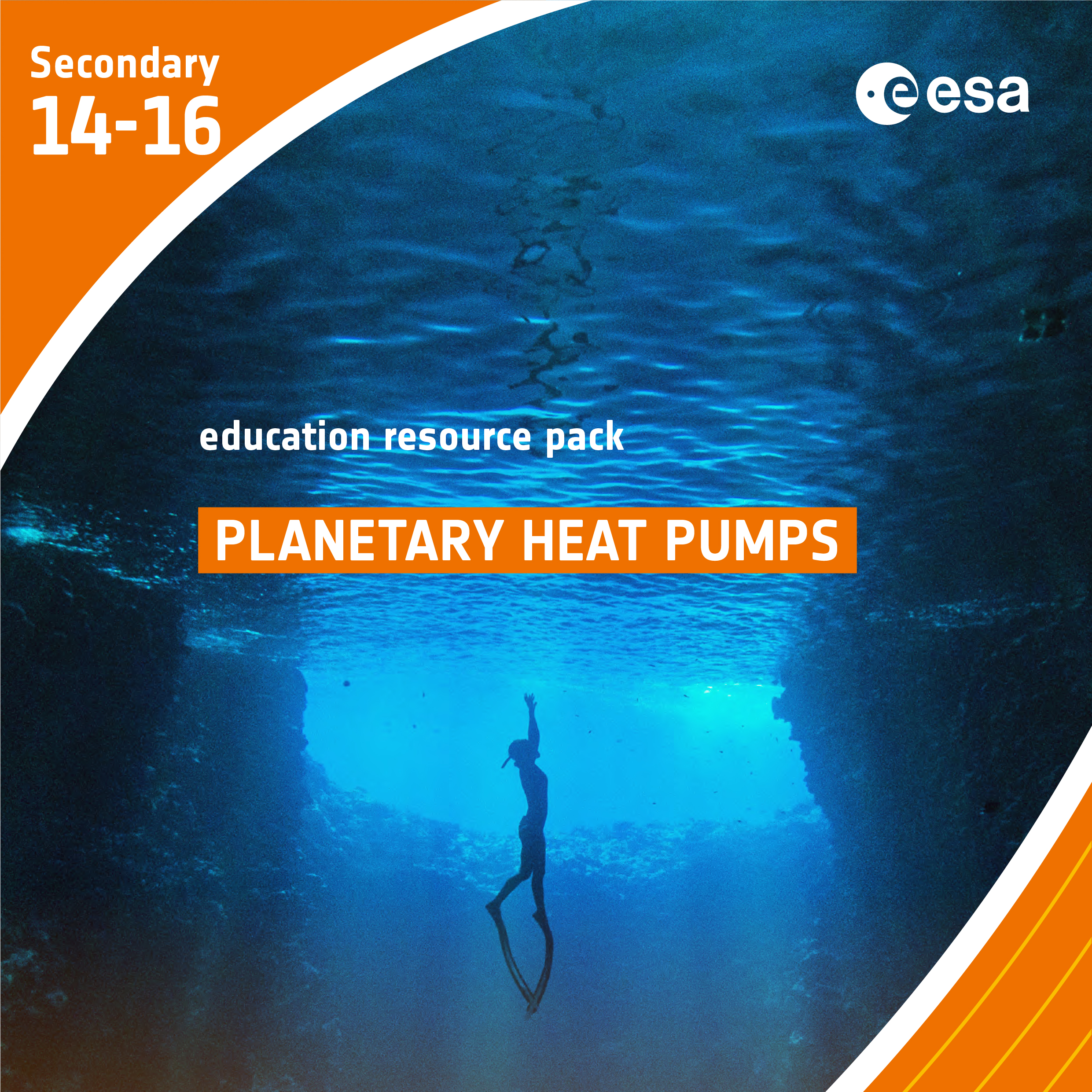
Planetary Heat Pumps
Brief description In this set of three activities, students will learn how ocean circulation has an impact on climate. In...

From the Ground and from the Sky- Analysing and understanding images of planet Earth taken from space
Brief description In this set of three activities, pupils are introduced to the idea of remote observation of the Earth...