
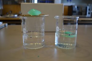

The ice is melting – How can we investigate the effects of melting ice?
Brief description In this set of four activities, pupils will explore the impacts of global warming and melting ice on...
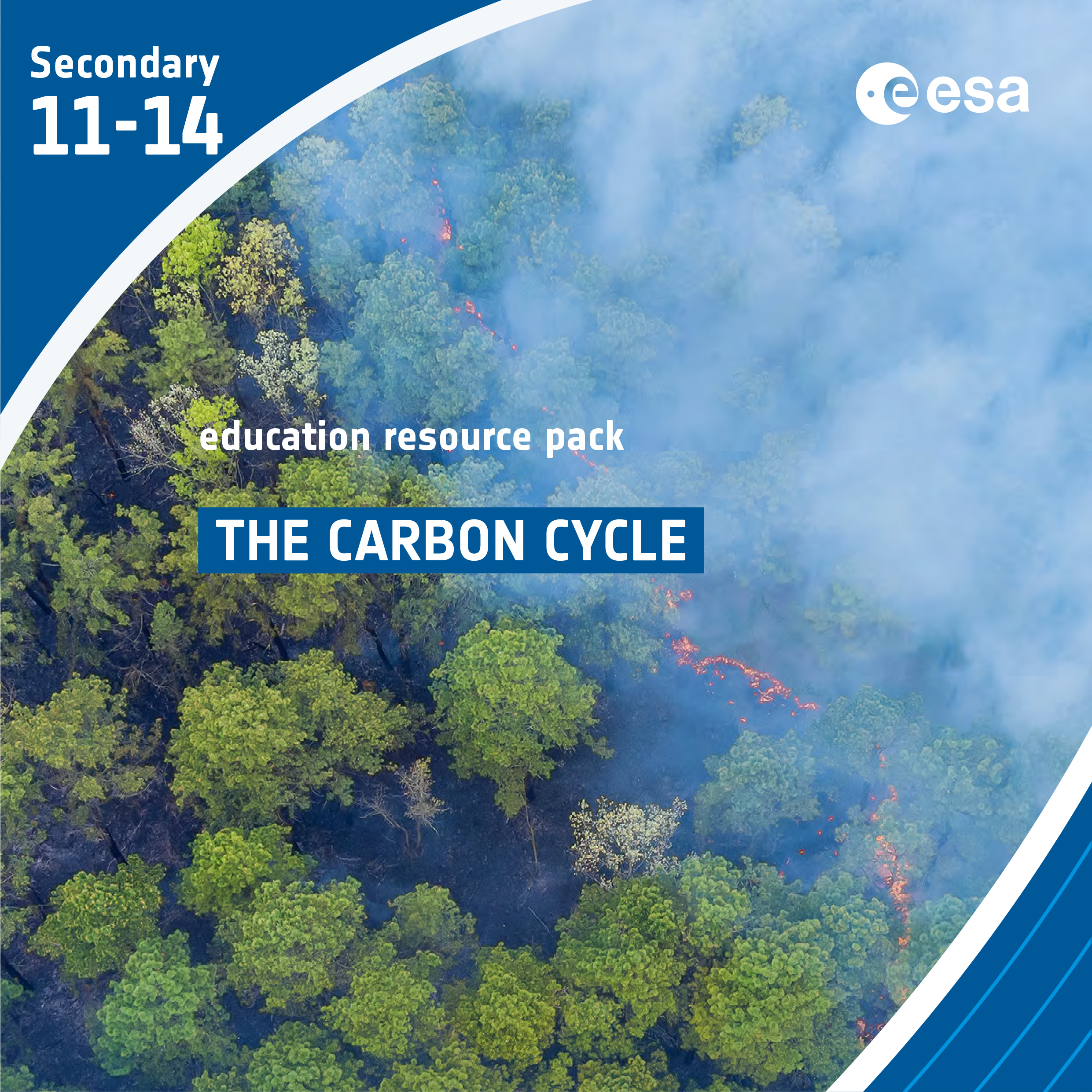
The Carbon Cycle
Brief description In this set of three activities, students will learn about the carbon cycle and use it to identify...

Causes and Consequences
In this short video, Dr Natalie Douglas, a climate scientist, explains what could be some of the causes and consequences of climate change and why a 0.5 degree of temperature difference can be so important....

Saving lives when disasters strike
Discover how satellite images can help with disaster relief and recovery anywhere in the world.
Is ozone good or bad? -The discovery of the Antarctic ozone hole
Brief description In this set of three activities, students will learn about ozone and the impacts – good and bad...
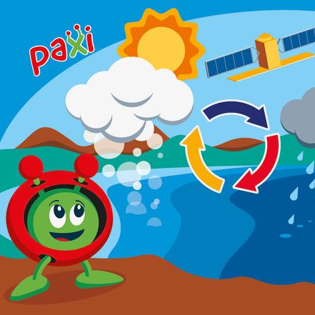
Paxi – The Water cycle
Brief description:Join Paxi as he visits Planet Earth, and learn about the water cycle. In this video, targeted at children...