


The spatial resolution
The observation of our planet with the help of satellites largely depends on the different characteristics of their sensors. The spatial resolution, that is explained in this video, is one of these characteristics. Video by...
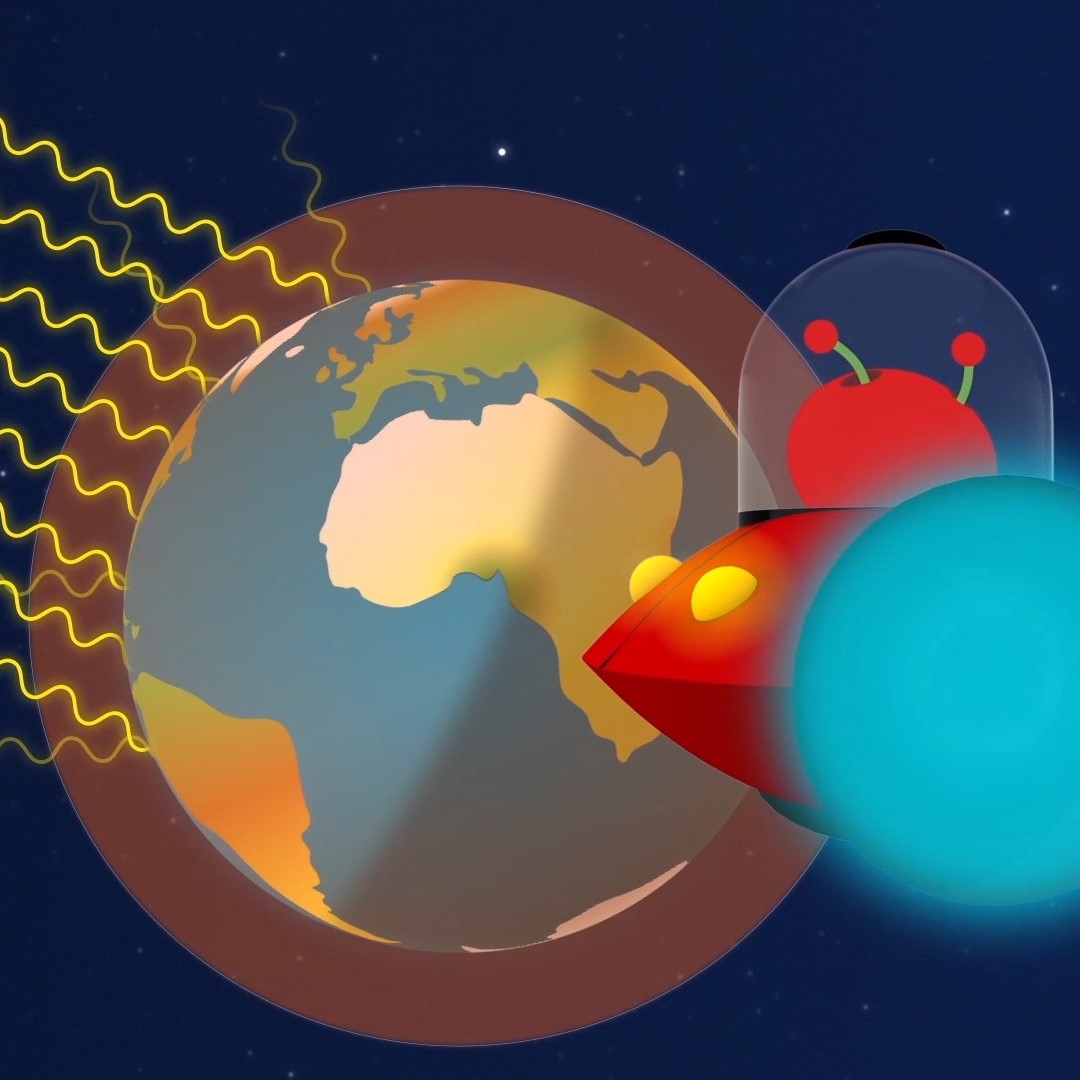
Paxi – The Greenhouse effect
Brief description:Join Paxi as he explores the greenhouse effect to learn about global warming. In this video, targeted at children...

The Electromagnetic Spectrum – Introduction
Learn about the electromagnetic spectrum and how satellites can see the invisible. Video by ESERO Germany (in English).
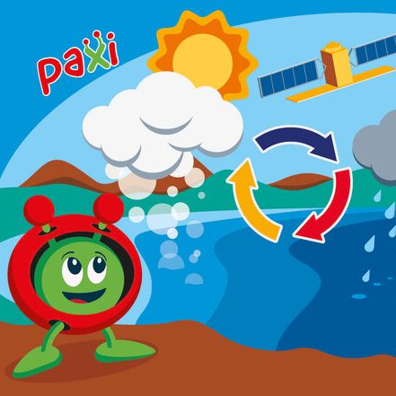
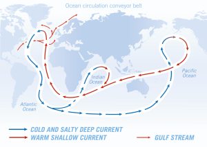
Paxi – The Water cycle
Brief description: Join Paxi as he visits Planet Earth, and learn about the water cycle. In this video, targeted at...

One year on Earth – Understanding seasons
Brief description This resource includes two activities to foster and enhance pupils’ knowledge of seasons, and focuses on the basic...
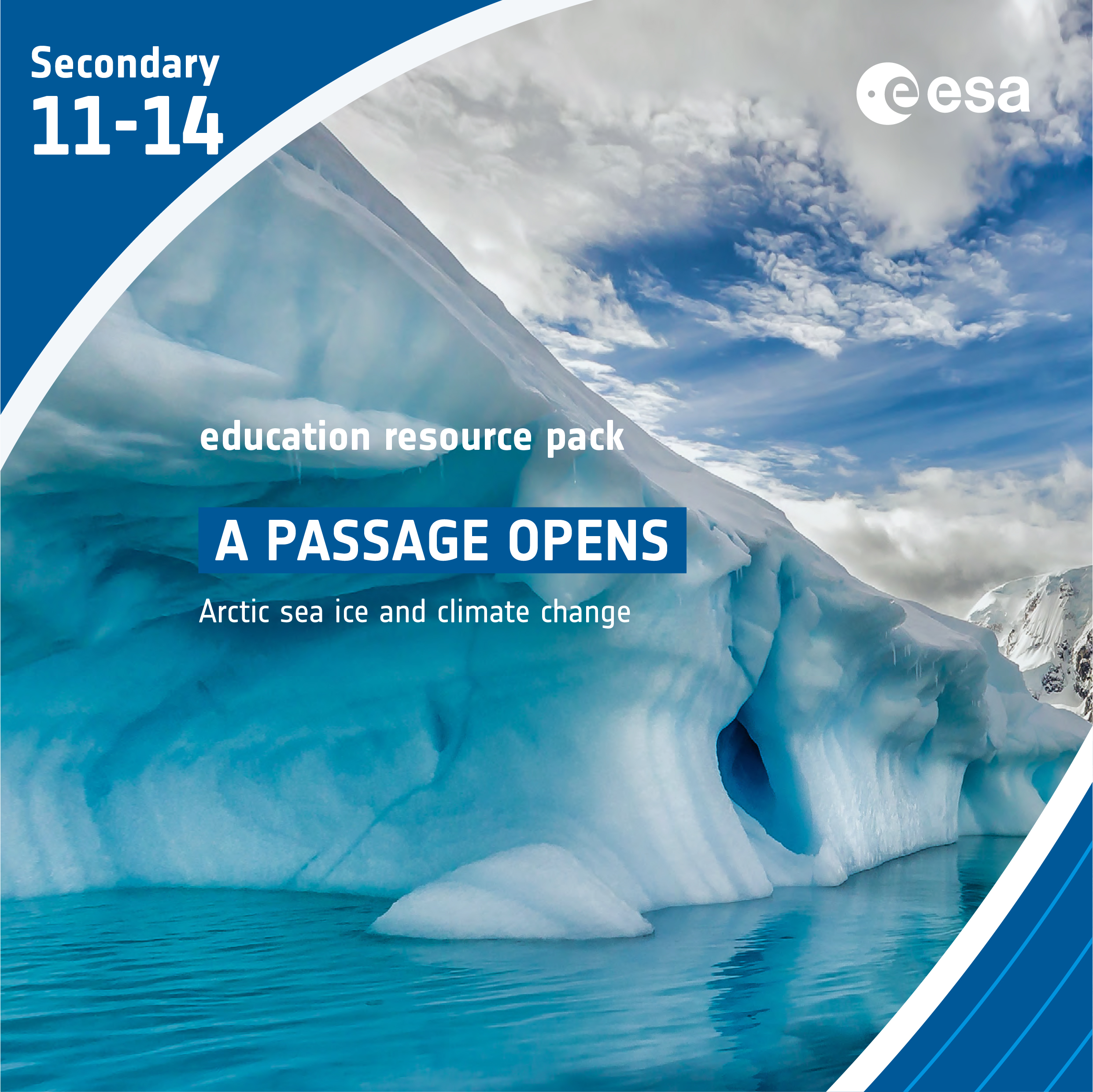
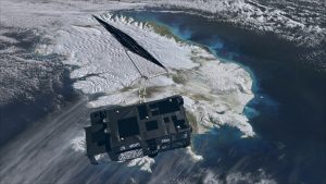
A Passage opens – Arctic sea ice and climate change
Brief description In this set of three activities, students will discover the important role Arctic sea ice plays in the...