

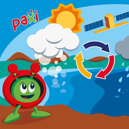
Paxi – The Water cycle
Brief description:Join Paxi as he visits Planet Earth, and learn about the water cycle. In this video, targeted at children...

From the Ground and from the Sky- Analysing and understanding images of planet Earth taken from space
Brief description In this set of three activities, pupils are introduced to the idea of remote observation of the Earth...
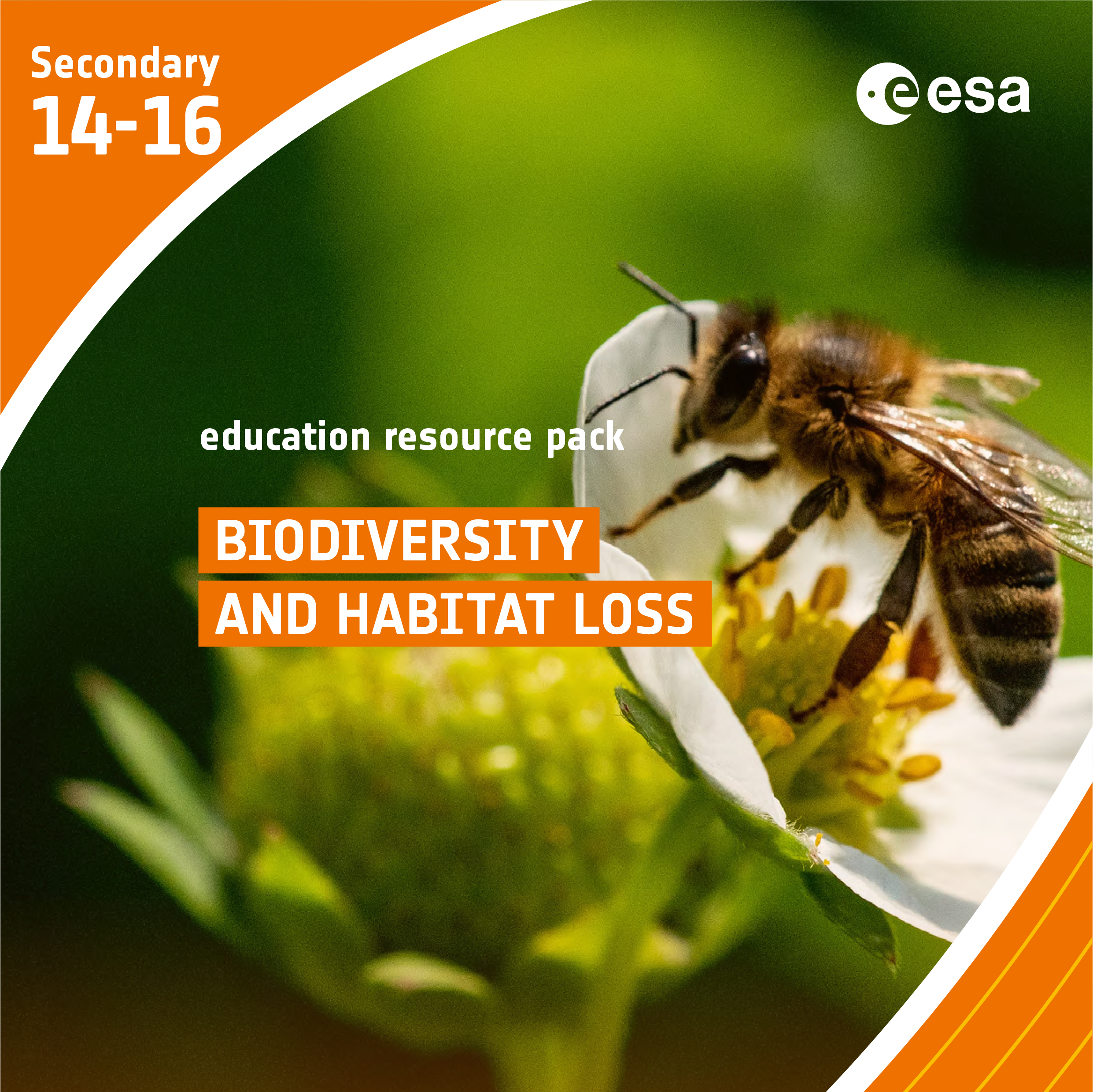
Biodiversity and Habitat Loss
Brief description In this set of three activities, students will start with a reading assignment that introduces vocabulary and ideas...
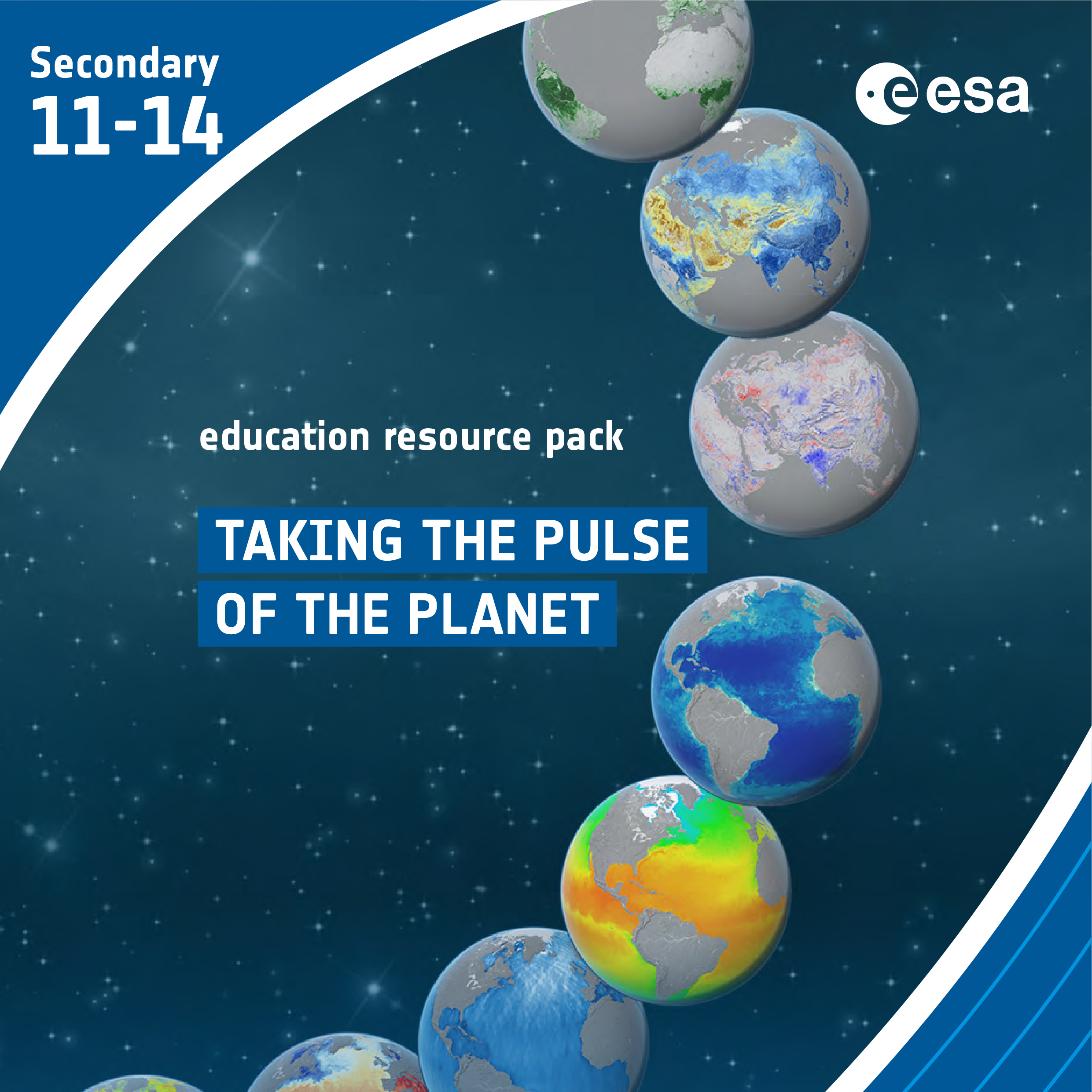
Taking the Pulse of the Planet
Brief description In this set of three activities, students will learn how various types of electromagnetic radiation are used to...

Copernicus Browser Case Study: Oil Spills From Space
Brief description This activity supports teachers in guiding their students to investigate oil spills and their impacts using satellite imagery....

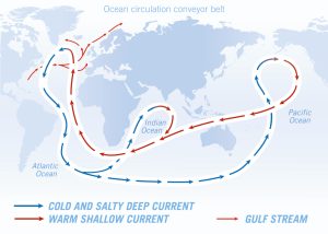
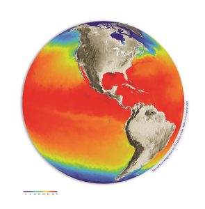
Ocean views
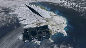
Ice and snow can be a hot topic when talking about climate. The polar regions are very fragile and can tell us a lot about how Earth’s climate is changing. Andrew Shepherd of the University...