
The Power of Earth Observation
We are all intricately interconnected to our Earth – from the trees that provide us with oxygen, to the natural sources that shape our landscape. ESA’s Earth observation programme is at the forefront of monitoring...
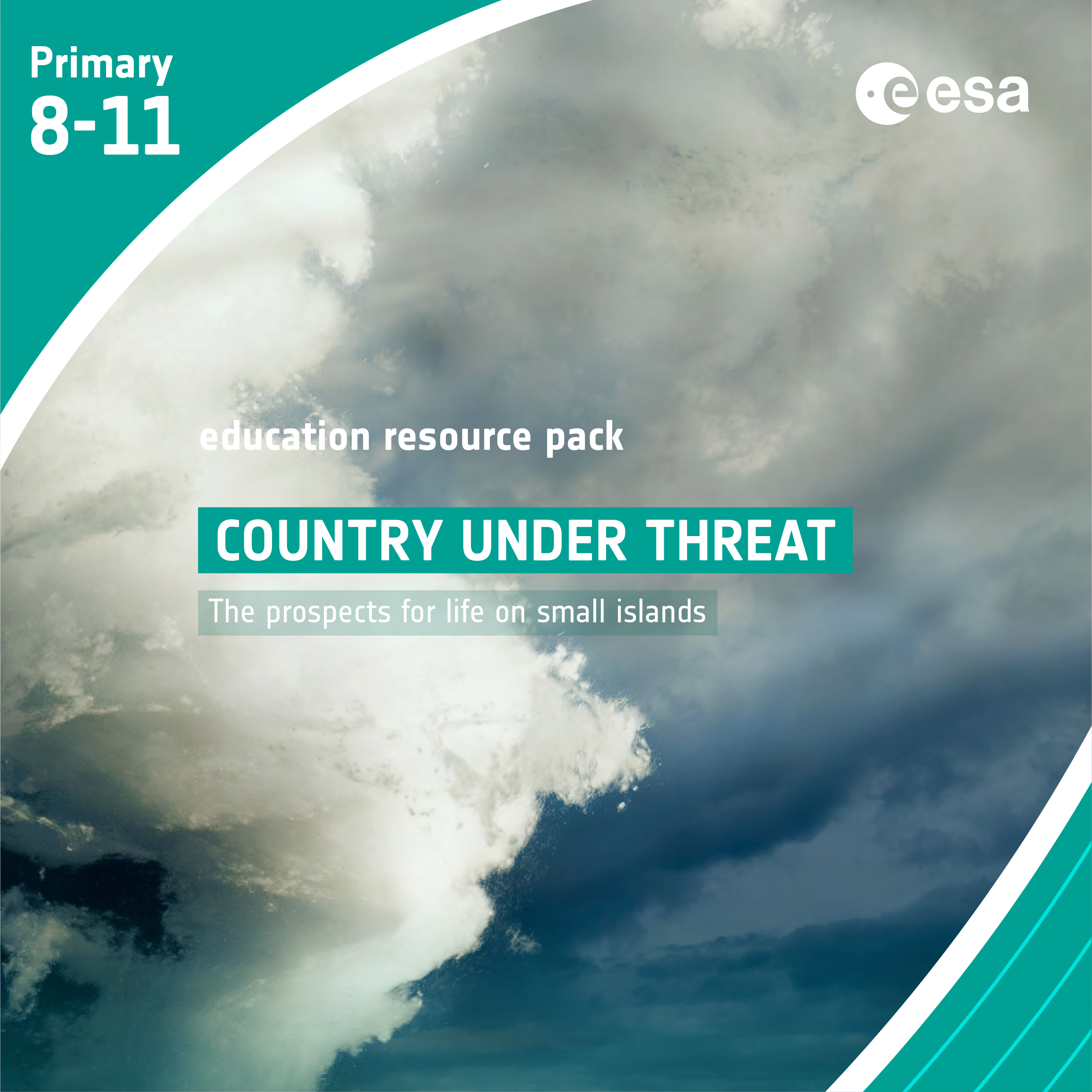
Country under Threat – The prospects for life on small islands
Brief description In this set of four activities pupils will learn about the causes and potential impacts of sea-level rise...
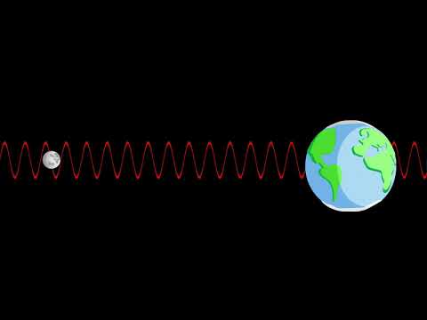
The Electromagnetic Spectrum – Advanced
Explore what satellites can see with their sensors and learn about the properties of the electromagnetic waves. Video by ESERO Germany (in English).

From the Ground and from the Sky- Analysing and understanding images of planet Earth taken from space
Brief description In this set of three activities, pupils are introduced to the idea of remote observation of the Earth...
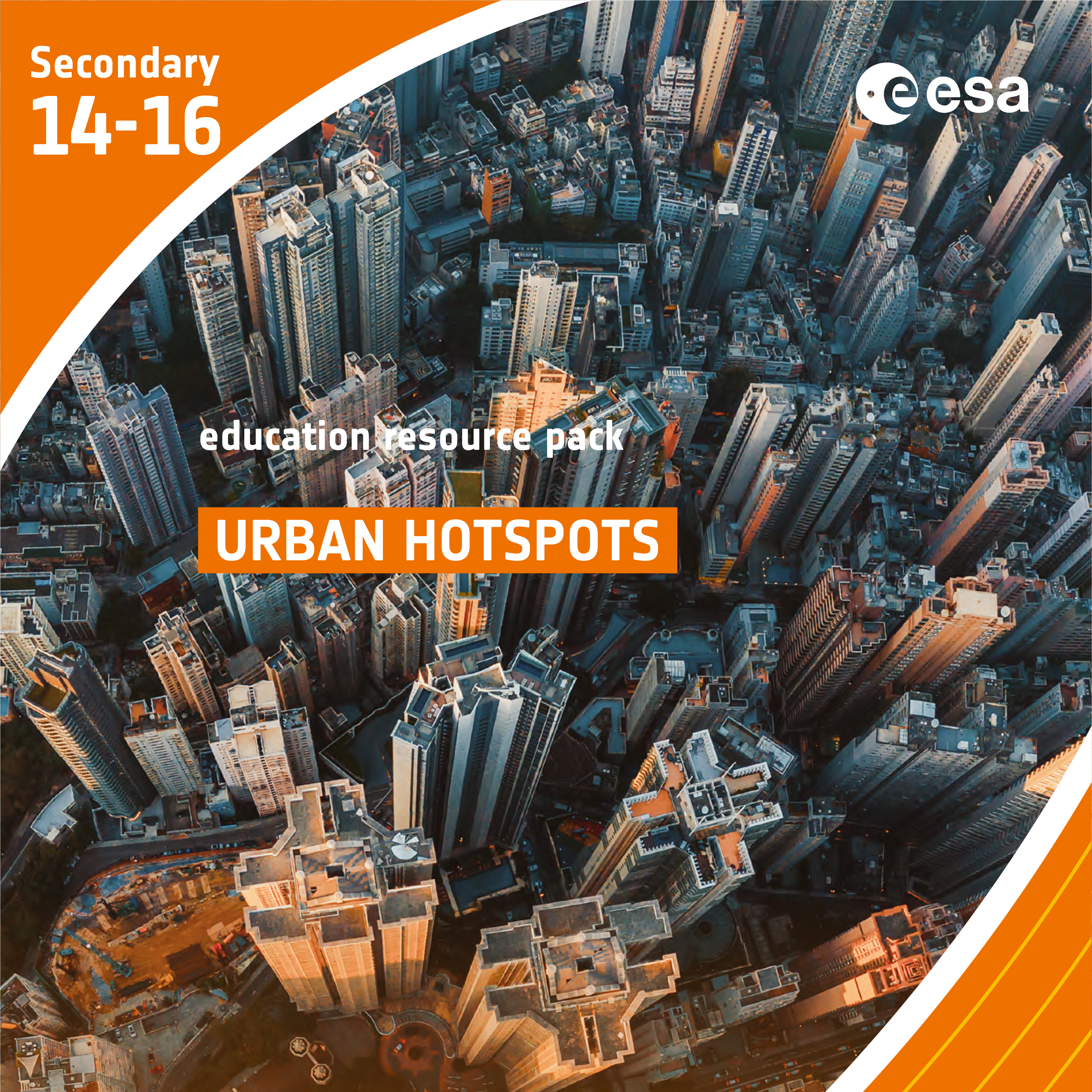
Urban Hotspots
Brief description In this set of three activities, students will learn how the built environment leads to the urban heat...

Learn about sea level
Learn how climate change is causing our seas to rise and how satellites have been measuring the height of the sea surface systematically since 1992.