


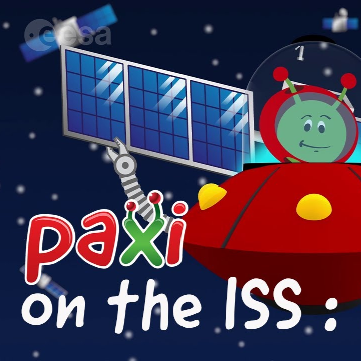
Paxi on the ISS – Natural and artificial satellites
Brief description: Join Paxi aboard the ISS with astronaut Thomas Pesquet to discover natural and artificial satellites. Paxi on the...

Weather vs Climate – Understanding the difference between weather and climate
Brief description In this set of three activities, students will learn the difference between weather and climate. They will identify...

Radar vision
Discover how Copernicus Sentinel-1 mission uses its radar to provide an all-weather, day-and-night supply of imagery of Earth’s surface.
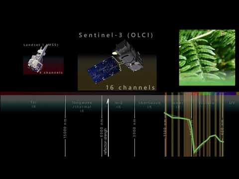
The spectral resolution
Earth observation satellites are guardians of our planet. Thanks to remote sensing technology and daily data collection, researchers are able to better monitor our planet’s oceans and rising sea levels from space. ESA senior advisor...

Causes and Consequences
In this short video, Dr Natalie Douglas, a climate scientist, explains what could be some of the causes and consequences of climate change and why a 0.5 degree of temperature difference can be so important....
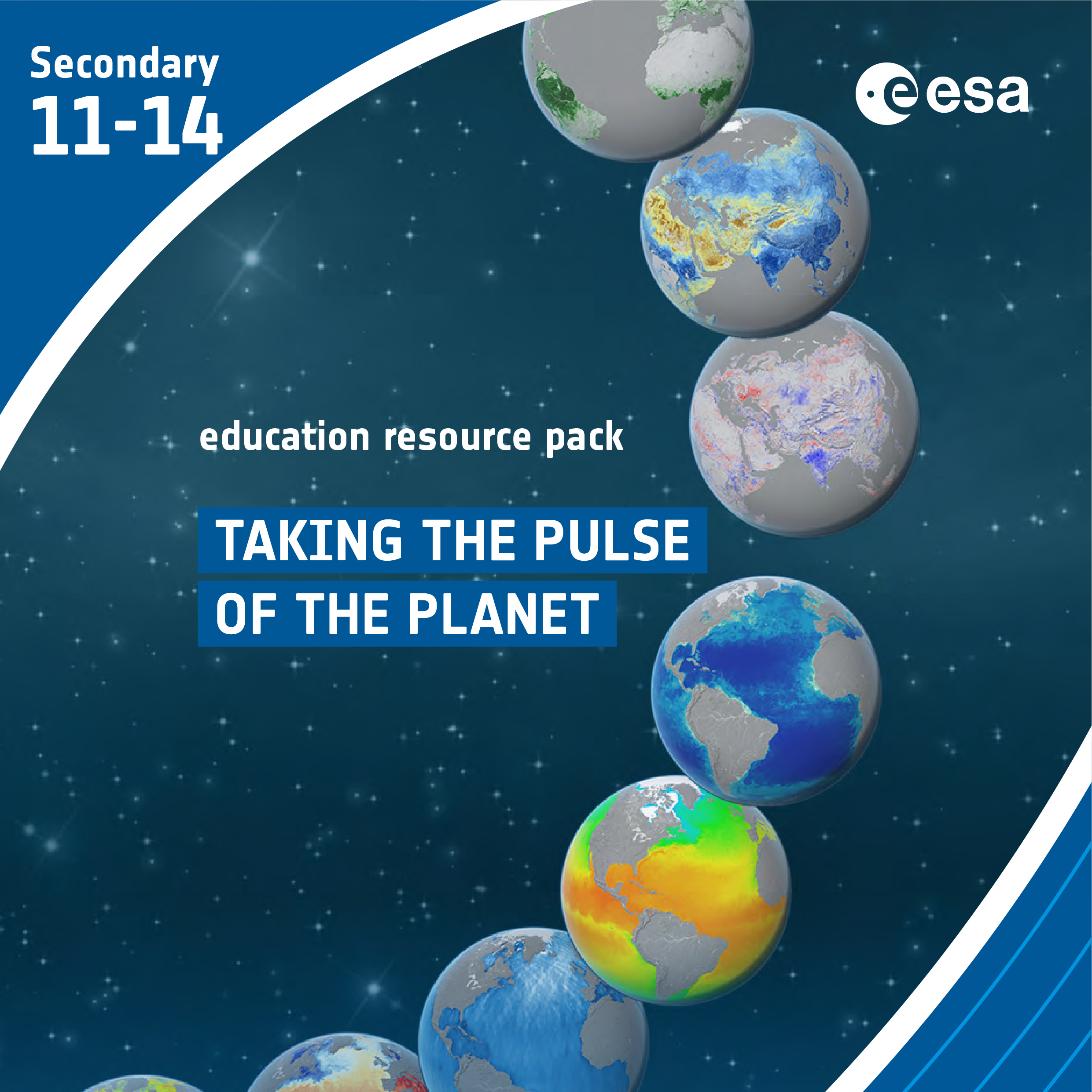
Taking the Pulse of the Planet
Brief description In this set of three activities, students will learn how various types of electromagnetic radiation are used to...