
Taking the Pulse of the Planet- Upper secondary
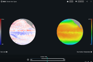
In this set of three activities, students will learn about how data is collected by sensors and how the orbit of a satellite affects the detail that can be obtained. A text-based activity introduces the concept of remote sensing and looks at how sensors and satellites in different orbits can be matched to the intended application. This is followed by mathematical work exploring factors affecting the amount of detail that is visible in a satellite image. In the final activity, students use the Climate from Space web application to explore a range of climate variables during El Niño and La Niña events.
Subject Geography, Science, Earth Science
- List the key components of a remote sensing system
- Describe the benefits and drawbacks of different satellite orbits for monitoring the Earth and its climate
- Create an infographic to convey research in an engaging way
- Analyse a digital image to determine the resolution of the image
- Consider how sensors are adapted for use on satellite platforms
- Suggest reasons for differences in the resolution of data collected by different instruments
- Use climate data to identify El Niño and La Niña events
- Explain how these events have global effects and investigate the human and societal impact of one such effect
- Student worksheet 2 (2 pages)
- A metre rule or tape measure
- Smartphone or digital camera
- Calculator
- Image-processing software with which students are familiar
- Climate from Space web application (cfs.climate.esa.int)
Did you know?
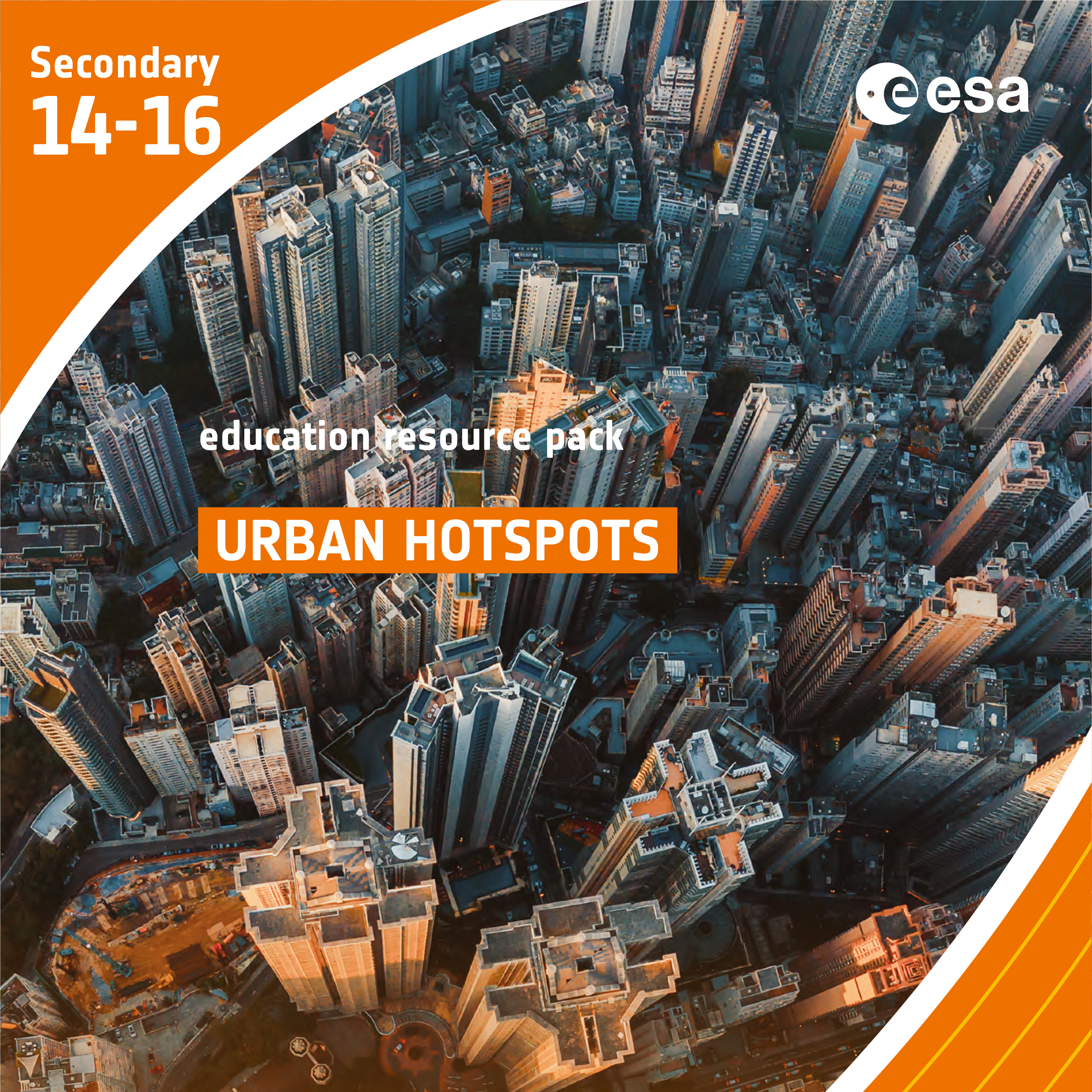
Urban Hotspots
Brief description In this set of three activities, students will learn how the built environment leads to the urban heat...
Paxi on the ISS – Natural and artificial satellites
Brief description: Join Paxi aboard the ISS with astronaut Thomas Pesquet to discover natural and artificial satellites. Paxi on the...
Copernicus Browser Case Study: Oil Spills From Space
Brief description This activity supports teachers in guiding their students to investigate oil spills and their impacts using satellite imagery....
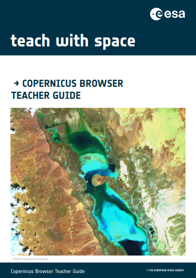
Copernicus Browser Teacher Guide
Brief description The goal of this guide is to help teachers navigate the main tools of the Copernicus Browser and...
Paxi explores wind
Brief description: Learn about wind, what causes it and how and why we study it in the latest Paxi adventure...
Highways of the Oceans – Sea currents and the connection to climate
Brief description In this set of three activities, students will use an multimedia module to learn about sea currents, the...