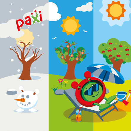
Paxi – Day, night, and the seasons
Brief description:Join Paxi as he explores why we have day and night, and learn why the Earth has seasons. Have...
Infrared Webcam Hack – Using infrared light to observe the world in a new way
Brief description This set of three activities will enable students to understand the electromagnetic spectrum and observe infrared radiation through...

Helping to manage water
Discover how satellites can help collecting information on water resources at over large areas.
Taking the Pulse of the Planet- Upper secondary
Brief description In this set of three activities, students will learn about how data is collected by sensors and how...

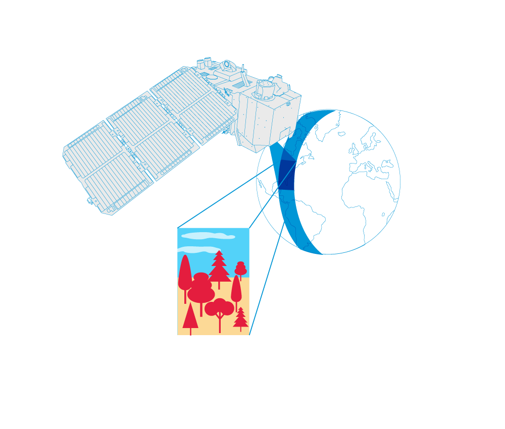
The spatial resolution
The observation of our planet with the help of satellites largely depends on the different characteristics of their sensors. The spatial resolution, that is explained in this video, is one of these characteristics. Video by...

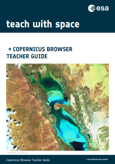
Copernicus Browser Case Study: Algal Blooms From Space
Brief description This activity supports teachers in guiding their students to investigate algal blooms and their impacts using satellite imagery....