The greenhouse effect and its consequences – Investigating global warming
Brief description In this set of three activities, students will do hands-on experiments and learn how to interpret satellite images...
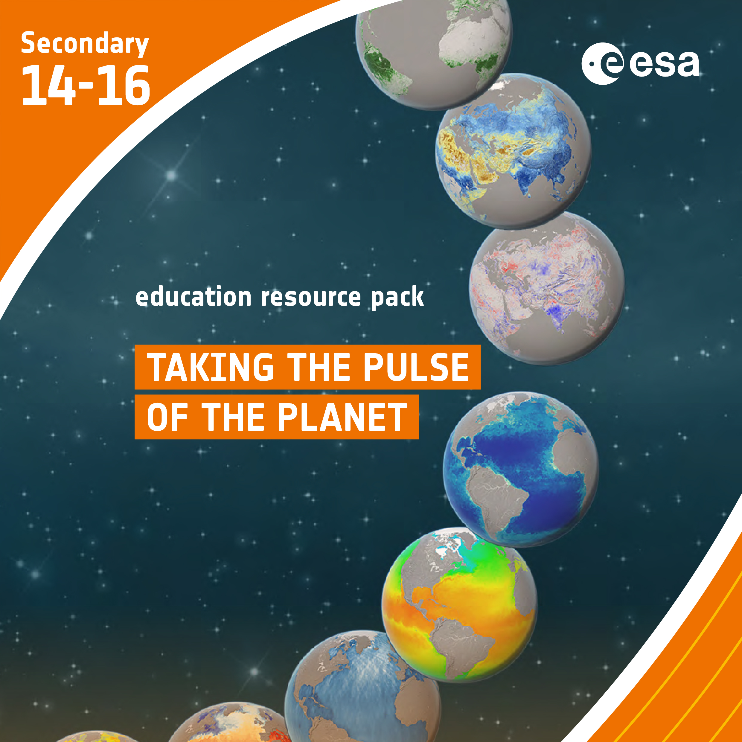
Taking the Pulse of the Planet- Upper secondary
Brief description In this set of three activities, students will learn about how data is collected by sensors and how...
The Power of Earth Observation
We are all intricately interconnected to our Earth – from the trees that provide us with oxygen, to the natural sources that shape our landscape. ESA’s Earth observation programme is at the forefront of monitoring...
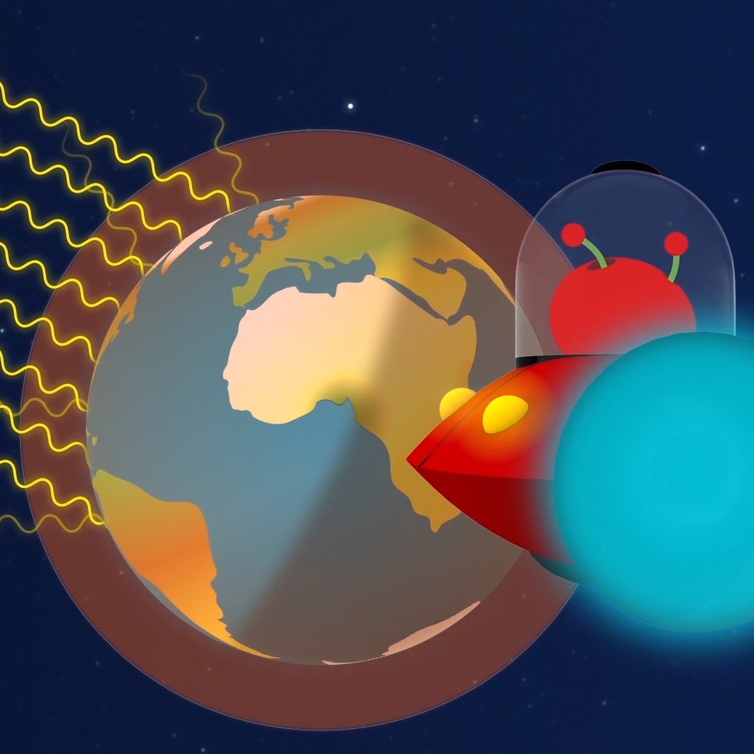
Paxi – The Greenhouse effect
Brief description:Join Paxi as he explores the greenhouse effect to learn about global warming. In this video, targeted at children...

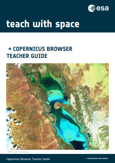
Copernicus Browser Case Study: Algal Blooms From Space
Brief description This activity supports teachers in guiding their students to investigate algal blooms and their impacts using satellite imagery....

The Electromagnetic Spectrum – Introduction
Learn about the electromagnetic spectrum and how satellites can see the invisible. Video by ESERO Germany (in English).