
Radar vision
Discover how Copernicus Sentinel-1 mission uses its radar to provide an all-weather, day-and-night supply of imagery of Earth’s surface.

Earth under the lid – Understanding the greenhouse effect
Brief description In this set of two activities, pupils will learn about our atmosphere and the greenhouse gases that it...

Learn about sea level
Learn how climate change is causing our seas to rise and how satellites have been measuring the height of the sea surface systematically since 1992.
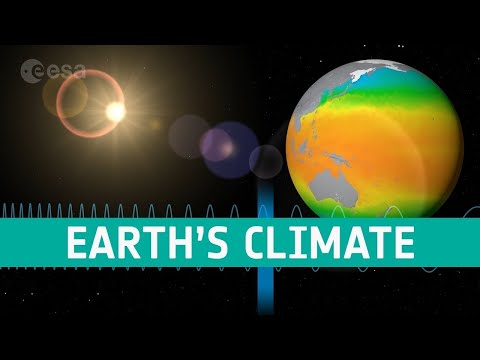
Satellites observe the Earth
Satellites observe the Earth using a range of wavelengths on the electromagnetic spectrum. Discover how we can build a more complete picture of Earth’s climate by sampling the electromagnetic spectrum at multiple wavelengths.
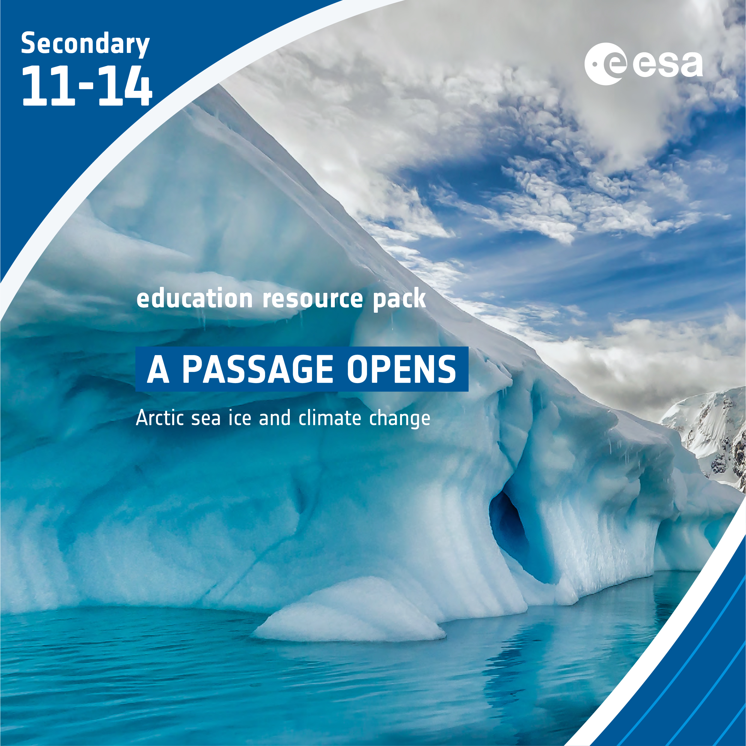
A Passage opens – Arctic sea ice and climate change
Brief description In this set of three activities, students will discover the important role Arctic sea ice plays in the...
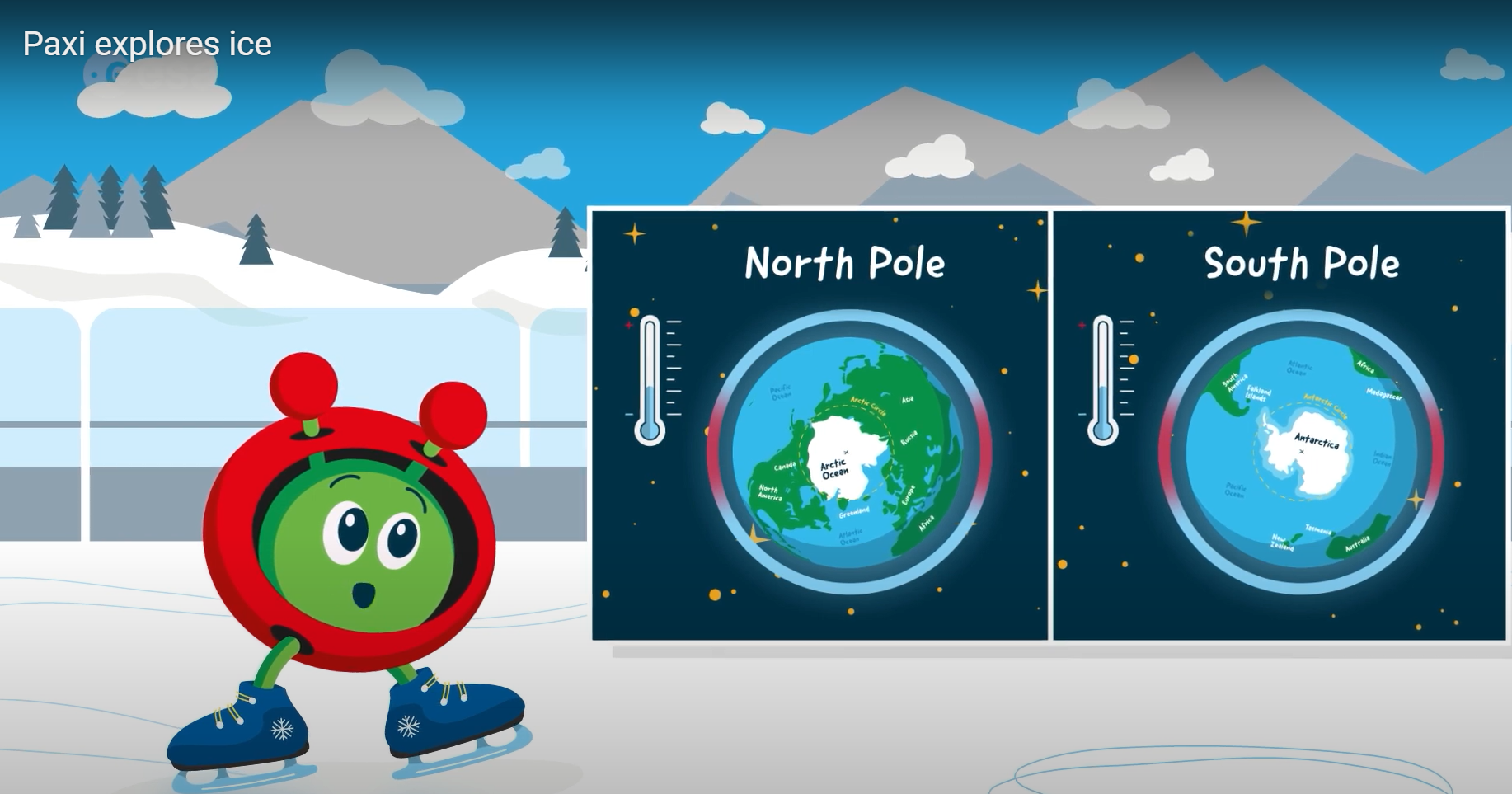
Paxi explores ice
Brief description:Join Paxi on an adventure to the North and South poles, to learn more about ice and its role...