Copernicus Browser Teacher Guide
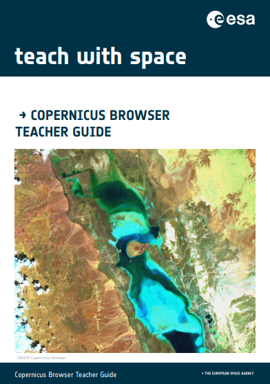
Brief description The goal of this guide is to help teachers navigate the main tools of the Copernicus Browser and demonstrate how to use them with their students in the classroom. To showcase its utility, we will delve into and analyse a case study, the focus will be on an extreme drought event in 2015 […]
Copernicus Browser Case Study: Oil Spills From Space

Brief description This activity supports teachers in guiding their students to investigate oil spills and their impacts using satellite imagery. It includes exercises for data collection and analysis, which can be adapted to the specific focus chosen by the teacher and students. By using satellite data from the Copernicus Sentinel-1 mission, students will learn analyse […]
Copernicus Browser Case Study: Algal Blooms From Space

Brief description This activity supports teachers in guiding their students to investigate algal blooms and their impacts using satellite imagery. It includes exercises for data collection and analysis, which can be adapted to the specific focus chosen by the teacher and students. By using satellite data from the Copernicus Sentinel-2 mission, students will examine the […]
Infrared Webcam Hack – Using infrared light to observe the world in a new way
Brief description This set of three activities will enable students to understand the electromagnetic spectrum and observe infrared radiation through the modification of a cheap webcam. It will enable discussion of how infrared radiation can be used to obtain information that is not available using visible light. Students will also analyse satellite images providing them […]
The greenhouse effect and its consequences – Investigating global warming
Brief description In this set of three activities, students will do hands-on experiments and learn how to interpret satellite images for better understanding the overall effects of global warming. In activity 1 students will make a model to demonstrate the greenhouse effect by showing that a higher level of carbon dioxide (CO2) means a higher […]
Highways of the Oceans – Sea currents and the connection to climate
Brief description In this set of three activities, students will use an multimedia module to learn about sea currents, the highways of the oceans, and how they are important for understanding local climates. Using a hands on activity they will investigate what causes ocean currents. They will also use satellite images to analyse the temperature […]
Urban Hotspots
Brief description In this set of three activities, students will learn how the built environment leads to the urban heat island effect and how Earth observation can be used to monitor this effect and support attempts to reduce it. In the first activity, students explore visual temperature data for a city and use it to […]
A Passage opens – Arctic sea ice and climate change

Brief description In this set of three activities, students will discover the important role Arctic sea ice plays in the Earth’s climate system. The activities are set in the context of the Northwest Passage. The first activity is a mathematical investigation into sea ice melt rate to illustrate what is meant by Arctic amplification. A […]