

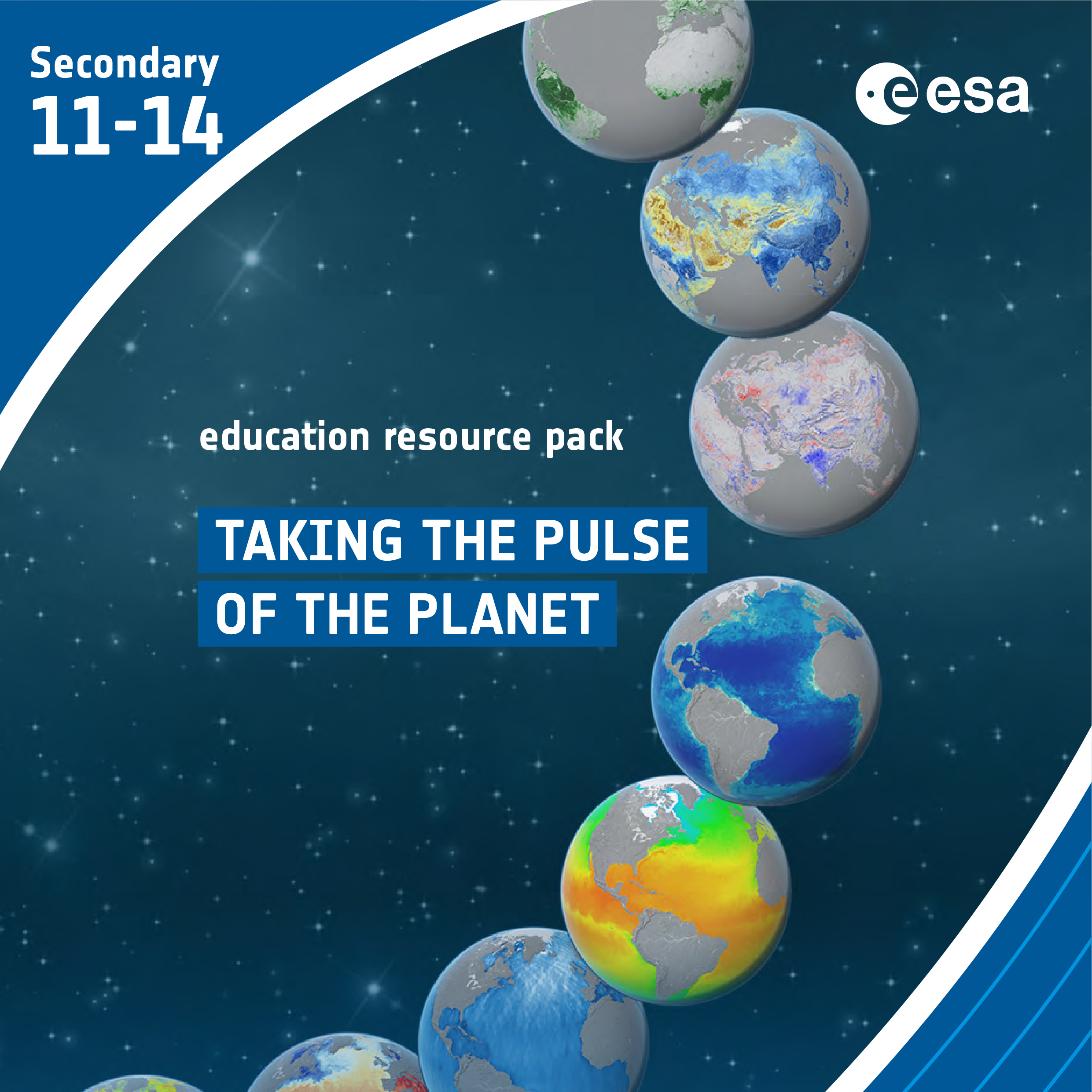
Taking the Pulse of the Planet
Brief description In this set of three activities, students will learn how various types of electromagnetic radiation are used to...
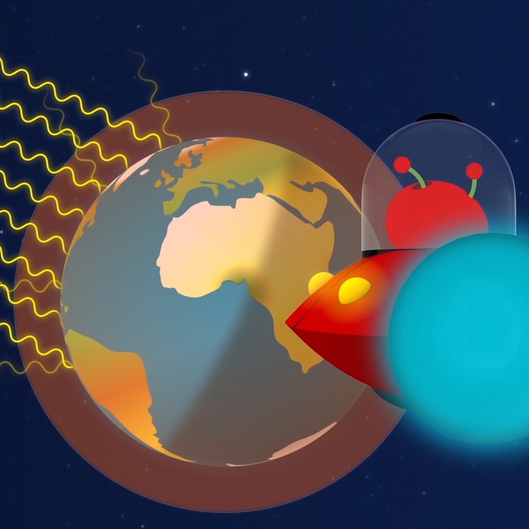
Paxi – The Greenhouse effect
Brief description:Join Paxi as he explores the greenhouse effect to learn about global warming. In this video, targeted at children...

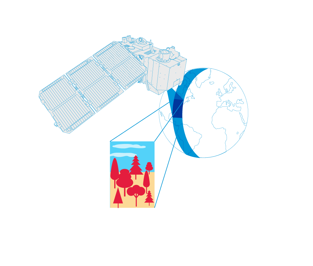
The Electromagnetic Spectrum – Introduction
Learn about the electromagnetic spectrum and how satellites can see the invisible. Video by ESERO Germany (in English).
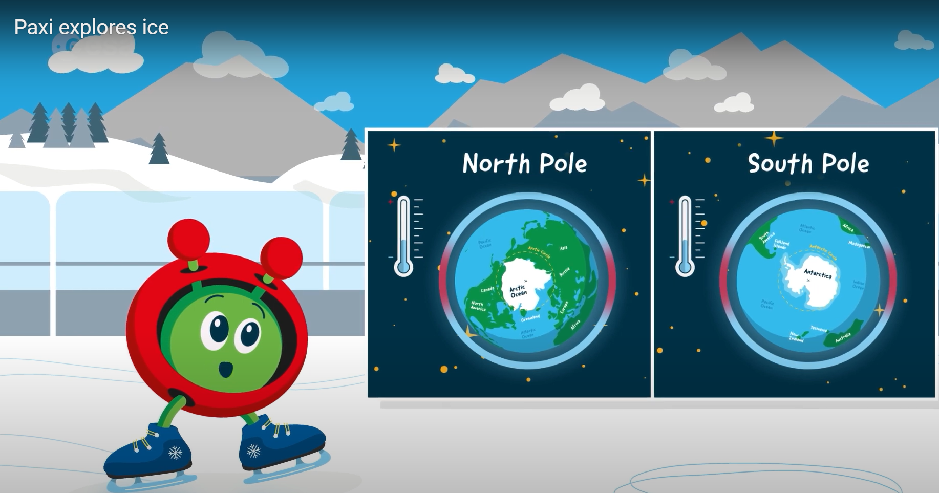
Paxi explores ice
Brief description:Join Paxi on an adventure to the North and South poles, to learn more about ice and its role...
Infrared Webcam Hack – Using infrared light to observe the world in a new way
Brief description This set of three activities will enable students to understand the electromagnetic spectrum and observe infrared radiation through...

Paxi – Day, night, and the seasons
Brief description:Join Paxi as he explores why we have day and night, and learn why the Earth has seasons. Have...