


Copernicus Browser Case Study: Algal Blooms From Space
Brief description This activity supports teachers in guiding their students to investigate algal blooms and their impacts using satellite imagery....

From the Ground and from the Sky- Analysing and understanding images of planet Earth taken from space
Brief description In this set of three activities, pupils are introduced to the idea of remote observation of the Earth...
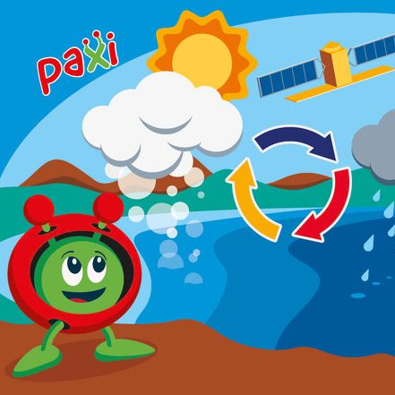
Paxi – The Water cycle
Brief description:Join Paxi as he visits Planet Earth, and learn about the water cycle. In this video, targeted at children...

Colour vision
Discover how satellites like Copernicus Sentinel-2 provide a new perspective of Earth’s land and vegetation.
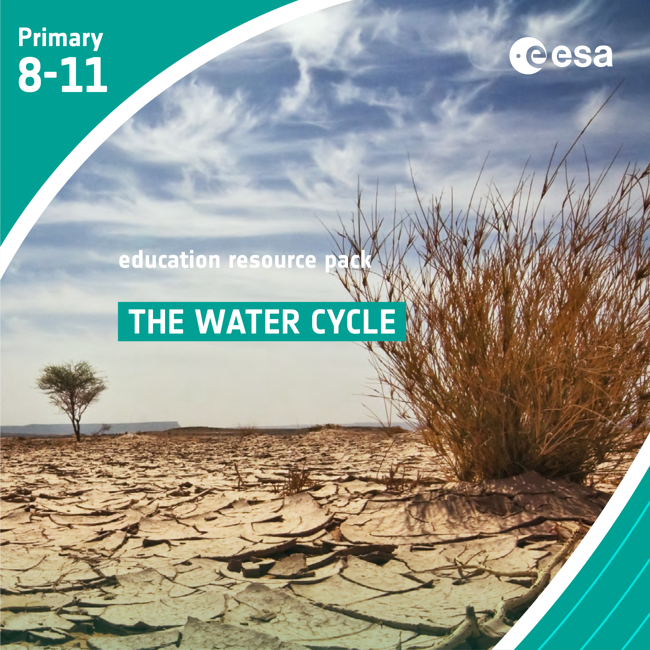
The Water Cycle
Brief description In this set of six activities, students will learn about the water cycle and, in particular, how water...
The greenhouse effect and its consequences – Investigating global warming
Brief description In this set of three activities, students will do hands-on experiments and learn how to interpret satellite images...