Climate Detectives Projects 2020-2021
Project title: Climate Change and Pui village: Indicators and Impacts
Team: Green team
Scoala Gimnaziala Pui Pui Romania 6 6Student’s age: 12-13 years old, 14-15 years old

Is it necessary for farmers’ adaptation to long-term drought in Pui village?

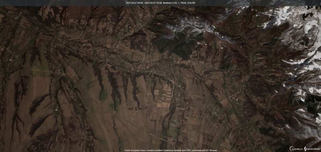
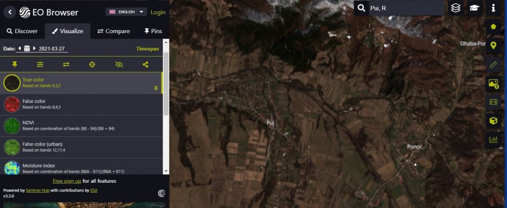
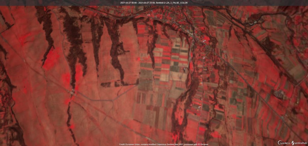
We live in a big village in the west of Romania. The study area is situated in the locality called Pui (45°51ʹ00″ N, 23°09ʹ00″ E) – the administrative district and commune of Pui, the Hunedoara Province, in the west part of Romania. The inhabitants practice agriculture and animal husbandry. The students analysed the parcels where the changes in land use, compared to the cadastral data, were found. The areas of interest were the parcels, where agricultural use was abandoned and the forest succession progressed. This project investigates the possibility of applying satellite images Sentinel 2 for the automation of land use cover change detection, mainly in the aspect of monitoring uncontrolled forest succession. The results of the supervised classification of images Sentinel-2A were referred to the results of the traditionally applied manual vectorization of aerial orthophotomap. The difference for area covered by trees or shrub was 1.75% of the analysed parcels area. Analysing the results for each parcel in which the process of succession occurred, the mean difference is on average 0.75% for one parcel. The mean difference in the absolute value of the total area of participation in individual land use plots was about 0.54% of the analysed area.
Materials and methods:
Satellite imagery Sentinel-2 of 27 March 2021 (source: ESA). Channels: 3 (Red), 2(Green) and 1(Blue). Free Sentinel-2 L2 A imagery was downloaded from the ESA Sentinel data hub – EO Browser.
Cadastral data (2016; parcels + land use; source: Pui GEOPORTAL.
In this investigation, the discrepancies were shown in the range of the forested and wooded areas, between the Pui official cadastral data and pixel-based classification satellite images Sentinel-2. Cadastral databases are outdated and do not reflect the scale of the process of tree and shrub invasion on the land where the agricultural use has stopped.
The results of the supervised classification of images Sentinel-2A were referred to the results of the traditionally applied manual vectorization of aerial orthophotomap. The difference for area covered by trees or shrub was 1.75% of the analysed parcels area.
Analysing the results for each parcel in which the process of succession occurred, the mean difference is on average 0.75% for one parcel. The mean difference in the absolute value of the total area of participation in individual land use plots was about 0.54% of the analysed area

What can be done locally to fight climate change? Create a joint local action plan. Local farmers can get help from local environmental groups, local authorities and agricol advice centre; Village days around Pui village tell people about agricol efficiency measures and grants. Local students give a presentation at the events, building on special lessons in our school. Each event is publicised in advance, through visits to community groups and schools and leaflets sent to each home; Village plans are an excellent means of promoting action in the community, and can be prepared by village councils with extensive participation from the local population. Climate change mitigation and adaptation can be addressed in village plans. Curriculum – Integrating Climate Change in our school.
https://climatedetectives.blogspot.com/
Projects are created by the teams and they take the full responsibility of the shared data.
← All projects