Climate Detectives Projects 2020-2021
Project title: Climate change in our town
Team: C. C. O. / Climate Change Observers
3rd Junior High School of Gerakas Athens Greece 8 4Student’s age: 14-15 years old
We observe the climate change of our town. We compared temperatures and other physical phenomena of the last thirty years using data taken from formal sites.
• Our town is situated at the foot of Penteli Mountain. Its forest has recently been burnt.
• Thirty years ago seasons were easily distinguished one from another; however, nowadays this is something almost unfeasible.
• Furthermore, due to climate change we face detrimental storms during the year. Owing to the lack of rain water during the previous years, many old small canyons have been filled with soil and wreck. Houses or roads were built over them. This can be very dangerous during floods.
• Another problem is the rise of the temperature during summer time. The forest worked as a temperature controller but now without it, the summer is really very difficult.
To our research we used:
– satellite data to observe the changes of the ground,
– Meteorological data from formal sites to have information about the temperature and rain fall for the last thirty years.
All these data were compared and we had results about the climate change in our town as well as on how this has affected our lives.
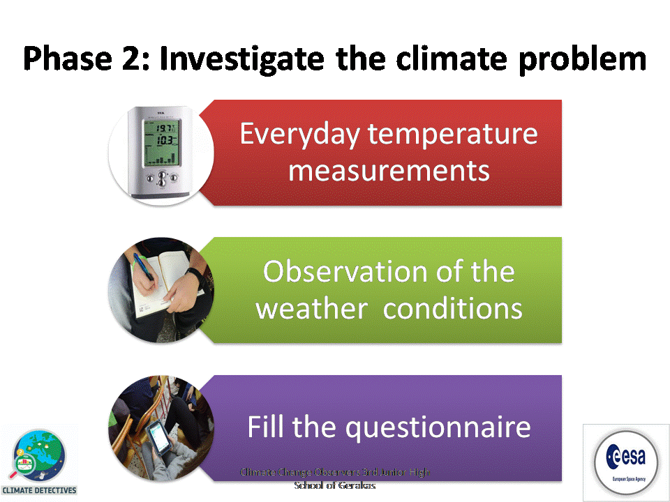
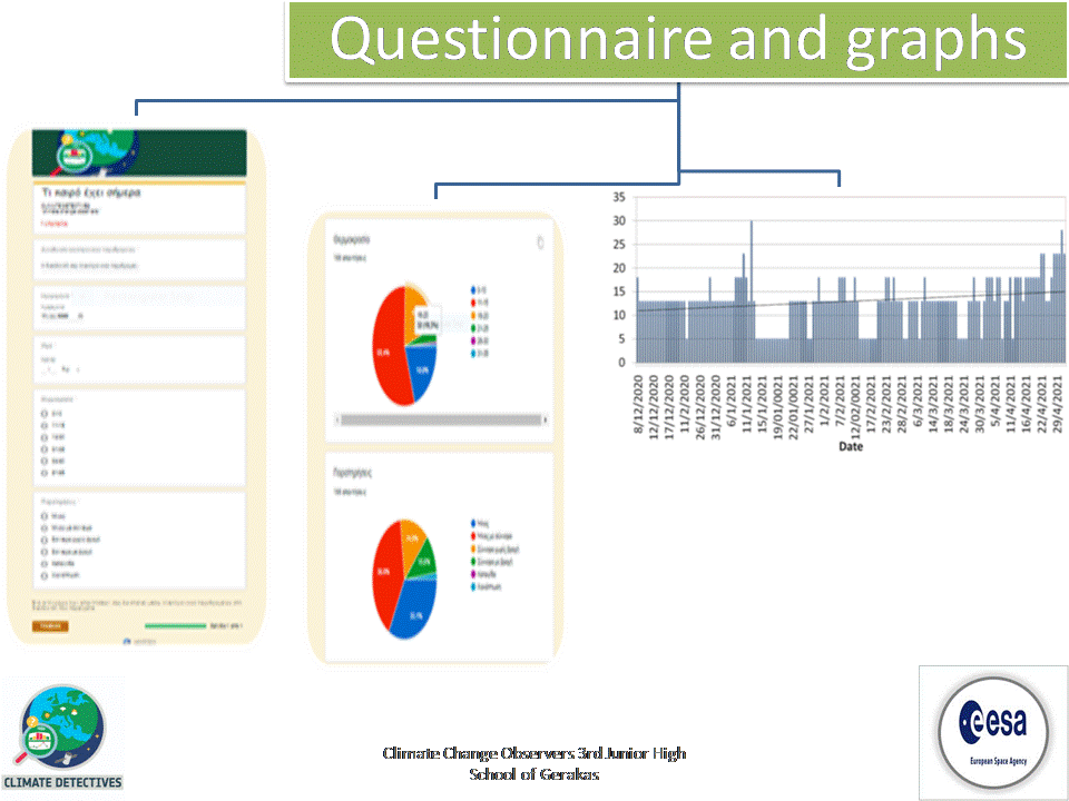
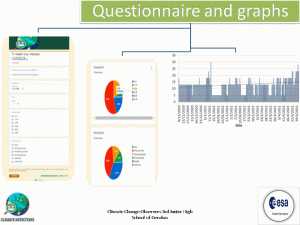
The measurements with the electronic thermometer and the diagrams where made so as the students to understand the way a meteorological station works. So far the temperature measurements and the observation of the weather conditions was the first step to distinguish the terms climate and weather.
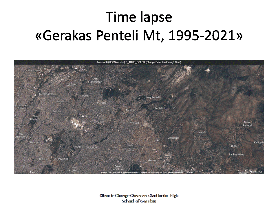
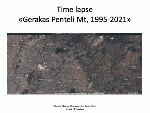
The satellite images’ observation from EO Browser was a reveal of a small part of our town history. It was obvious that the plantation had changed and the city is expanding against plant coverage.
Students learned the difference between the terms «climate» and «weather».
Then we used:
– satellite data to observe the changes of the ground,
– meteorological data from formal sites to have information about the temperature and rain fall for the last thirty years.
All these data were compared and we had results about the climate change in our town as well as on how this has affected our lives.
• The satellite images’ observation from EO Browser was a reveal of a small part of our town history. It was obvious that the plantation had changed and the city is expanding against plant coverage.
• The burn of the forest is a factor to the local rise of the temperature too, especially during the summer.
From the sattelite images we recognize that the main problem of the floods is the burnt of the mountain forest located above our town.
Students reccomend to plant trees at the burnt areas of the mountain. So they want to participate in such actions and they plan to organise some.• Due to the pandemic restrictions we did not manage to fulfil all the phases of our investigation plan. Next year we will use aerial photos and local people testimonies to make maps of the past and the present and to compare them.
Projects are created by the teams and they take the full responsibility of the shared data.
← All projects

